|
search place name
|
||
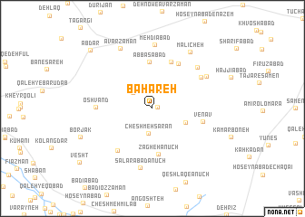
Bahāreh (Hamadān, Iran)Bahāreh is a town in the Hamadān region of Iran. An overview map of the region around Bahāreh is displayed below.
regional and 3d topo map of Bahāreh, Iran ::
Bahāreh airports ::
The nearest airport is KSH - Bakhtaran Shahid Ashrafi Esfahani, located 128.9 km west of Bahāreh.
Other airports nearby include SDG - Sanandaj (182.5 km north west), Nearby towns ::
‘Alī Morād Khvāh (0.6km east) //
Anjīreh (2.7km north west) //
Cheshmeh Sārān (3.1km south) //
Sīāh Kamar (3.8km south east) //
Zāgheh Anūch (5.7km south) //
‘Abbāsābād (5.7km north) //
Sāhan (6.0km north) //
Venāv (5.3km east) //
Ḩasan Kūsej (6.1km north east) //
Alvān Kamar-e Bālā (6.3km south west) //
‘Oshvand (5.8km west) //
Īrāneh (6.3km north east) //
Sālārābād Anūch (7.4km south) //
Sarāb Sāmen (6.8km north east) //
Sarāb-e Ţajar (6.7km north east) //
Mehdīābād (7.9km north) //
Mālīcheh (8.0km north east) //
Āvarzamān (8.1km north west) //
Borjak (8.1km south west) //
Ābdar (9.6km north west) //
[all distances 'as the bird flies' and approximate] 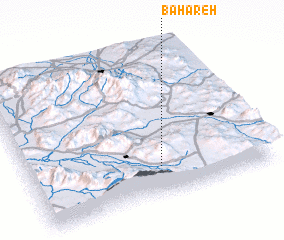 Places with similar names to Bahāreh, Iran ::
Disclaimer :: Information on this page comes without warranty of any kind |
||
|
Where is Bahāreh? Elevation and coordinates ::
Latitude (lat): 34°11'55"N Longitude (lon): 48°32'47"E
Elevation (approx.): 2022m (map arrows pan, magnifying glasses zoom) |
||
|
Visiting Bahāreh? Hotel/Accommodation ::
Book a hotel in Bahāreh Travel Guide ::
Buy a travel guide for Iran rental cars ::
car rental offers GPS waypoint ::
download a GPX waypoint (PoI) of Bahāreh for your GPS receiver
|
||