|
search place name
|
||
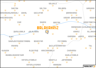
Bālā Kahrīz (Ostān-e Āz̄arbāyjān-e Sharqī, Iran)Bālā Kahrīz is a town in the Ostān-e Āz̄arbāyjān-e Sharqī region of Iran. An overview map of the region around Bālā Kahrīz is displayed below.
regional and 3d topo map of Bālā Kahrīz, Iran ::
Bālā Kahrīz airports ::
The nearest airport is TBZ - Tabriz Intl, located 139.8 km south east of Bālā Kahrīz.
Other airports nearby include VAN - Van (144.3 km west), Nearby towns ::
Qareh Kahrīz (1.4km east) //
Qūrūl-e Pā'īn (2.3km north west) //
Shūrīk (4.0km north) //
Basţām (4.6km north east) //
Behestān (4.7km south west) //
Jalālābād (4.3km west) //
Ḩamzīān-e Soflá (5.6km south) //
Qameshgān-e Bālā (5.7km south) //
Feyẕābād (5.7km south east) //
Qūzlū-ye Khānīyeh (6.3km south east) //
Ḩamzīān-e Bālā (7.4km south) //
Gozlayan (8.0km north) //
Chūmarān (8.0km north east) //
Kasīān (8.0km north east) //
Ālqūyrūq (8.6km south west) //
[all distances 'as the bird flies' and approximate] 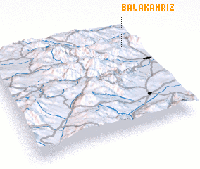 Places with similar names to Bālā Kahrīz, Iran ::
// Bell Acres (US)
// Blue Grass (US)
// Białogórce (PL)
// Bulgăruş (RO)
// Balkiraz (TR)
// Bolgoros (IR)
// Blue Grass (US)
// Blue Grass (US)
// Belcross (US)
// Bluegrass (US)
Disclaimer :: Information on this page comes without warranty of any kind |
||
|
Where is Bālā Kahrīz? Elevation and coordinates ::
Latitude (lat): 38°51'0"N Longitude (lon): 44°55'0"E
Elevation (approx.): 1293m (map arrows pan, magnifying glasses zoom) |
||
|
Visiting Bālā Kahrīz? Hotel/Accommodation ::
Book a hotel in Bālā Kahrīz Travel Guide ::
Buy a travel guide for Iran rental cars ::
car rental offers GPS waypoint ::
download a GPX waypoint (PoI) of Bālā Kahrīz for your GPS receiver
|
||