|
search place name
|
||
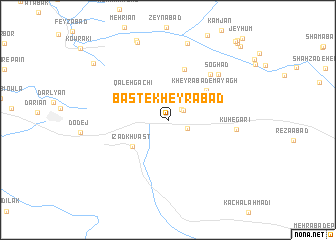
Bast-e Kheyrābād (Fārs, Iran)Bast-e Kheyrābād is a town in the Fārs region of Iran. An overview map of the region around Bast-e Kheyrābād is displayed below.
regional and 3d topo map of Bast-e Kheyrābād, Iran ::
Bast-e Kheyrābād airports ::
The nearest airport is SYZ - Shiraz Shahid Dastghaib Intl, located 46.0 km west of Bast-e Kheyrābād.
Nearby towns ::
Kheyrābād (1.7km north east) //
Kheyrābād-e Baghal (1.9km north east) //
Āb Shūr (2.1km south east) //
Qal‘eh Gachī (4.4km north west) //
Īzad Khvāst (4.6km south west) //
Kheyrābād-e Mayāgh (4.9km north east) //
Manşūrābād (5.8km north) //
Qavāmābād-e Bālā (6.6km north east) //
Şoghād (7.1km north east) //
Kūh-e Garī (6.7km east) //
Band-e Tīlakān (8.8km north) //
Feshangān (9.1km north) //
Raḩmatābād (9.3km north) //
Fotūḩābād (9.6km north west) //
Hāshemābād (10.8km north east) //
Saqqāābād (10.9km north east) //
Jīān (10.9km north east) //
Noşratābād (11.2km north east) //
[all distances 'as the bird flies' and approximate] 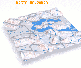 Places with similar names to Bast-e Kheyrābād, Iran ::
// Basti Khīrbāt (PK)
Disclaimer :: Information on this page comes without warranty of any kind |
||
|
Where is Bast-e Kheyrābād? Elevation and coordinates ::
Latitude (lat): 29°33'22"N Longitude (lon): 53°3'50"E
Elevation (approx.): 1582m (map arrows pan, magnifying glasses zoom) |
||
|
Visiting Bast-e Kheyrābād? Hotel/Accommodation ::
Book a hotel in Bast-e Kheyrābād Travel Guide ::
Buy a travel guide for Iran rental cars ::
car rental offers GPS waypoint ::
download a GPX waypoint (PoI) of Bast-e Kheyrābād for your GPS receiver
|
||