|
search place name
|
||
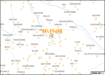
Belenjāb (Khorāsān, Iran)Belenjāb is a town in the Khorāsān region of Iran. An overview map of the region around Belenjāb is displayed below.
regional and 3d topo map of Belenjāb, Iran ::
Belenjāb airports ::
The nearest airport is XBJ - Birjand, located 29.4 km south west of Belenjāb.
Nearby towns ::
Tūrmān (0.5km east) //
Shīr Deh (1.0km west) //
Delābād (1.4km south) //
Ḩasanābād (1.5km north) //
Now Gīdar (2.1km south west) //
Pīshkūh (2.4km south) //
Kalājedar (2.1km north west) //
Şad Gol (2.1km north east) //
Marūk (2.1km east) //
Qalūrī (3.0km south) //
Mīdasg (2.8km south east) //
Samā' (2.7km south east) //
Masnābād (3.2km north west) //
Bīdesk (3.8km south east) //
Māhūsk (4.1km north east) //
Felārg (4.4km south) //
Hāderābād (3.9km east) //
Kalāj Darg (4.3km west) //
Māhūk (5.4km north) //
Boz Qonj (5.6km south) //
Borj-e Zīād (5.5km south west) //
Yahn (5.1km north west) //
Golūnābād (5.7km north west) //
Māhūsk-e Bālā (6.3km north east) //
Sangābād (6.8km south) //
Mowlīd (6.9km north) //
Māh Sen (6.3km south west) //
‘Abbāsābād (7.5km south) //
Naqenj (6.8km north east) //
[all distances 'as the bird flies' and approximate] 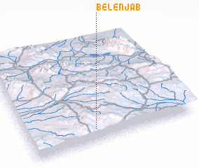 Places with similar names to Belenjāb, Iran :: Disclaimer :: Information on this page comes without warranty of any kind |
||
|
Where is Belenjāb? Elevation and coordinates ::
Latitude (lat): 33°8'0"N Longitude (lon): 59°24'39"E
Elevation (approx.): 2055m (map arrows pan, magnifying glasses zoom) |
||
|
Visiting Belenjāb? Hotel/Accommodation ::
Book a hotel in Belenjāb Travel Guide ::
Buy a travel guide for Iran rental cars ::
car rental offers GPS waypoint ::
download a GPX waypoint (PoI) of Belenjāb for your GPS receiver
|
||