|
search place name
|
||
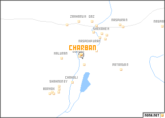
Charbān (Sīstān va Balūchestān, Iran)Charbān is a town in the Sīstān va Balūchestān region of Iran. An overview map of the region around Charbān is displayed below.
regional and 3d topo map of Charbān, Iran ::
Charbān airports ::
The nearest airport is ZBR - Chah Bahar, located 113.1 km south east of Charbān.
Nearby towns ::
Gūrvān (0.9km north west) //
Malūrān (1.4km south) //
Naspeh Pūrān (3.3km north east) //
Āb Band (3.4km north east) //
Malūrān (4.2km west) //
Chāh ‘Ālī (5.7km south) //
Gatī-ye Bālā (6.0km north east) //
Sabīl (6.4km north) //
Gatī-ye Pāʼīn (6.5km north east) //
Shekāhem (6.9km north east) //
Gevāshgerd (7.3km north east) //
Āvgār (8.0km north) //
Ābgāh (8.0km north) //
Shahr-e Rey (7.8km south west) //
Garech Khān (8.4km north) //
Zam Hārūm (8.5km north) //
Chowkān (8.4km south west) //
Gaz (8.7km north) //
Shūsh Gaz (8.7km north) //
Patandar (8.2km east) //
Jāvkā (8.9km south west) //
Chāhestān (9.8km south west) //
Bānūr (9.8km south west) //
Bormok (10.3km south west) //
Naspūrān (10.9km north east) //
[all distances 'as the bird flies' and approximate] 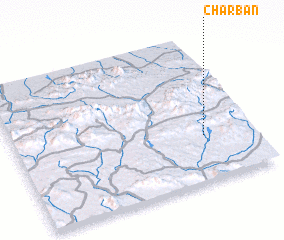 Places with similar names to Charbān, Iran ::
// Shirbîn (EG)
// Shurbān (TN)
// Charbīn (IR)
// Charbonneau (US)
// Charbonneau (US)
// Shiribana (AW)
// Cherebuana (GH)
// Cherebuana (GH)
// Sharabīān (IR)
// Sharbanai (PK)
Disclaimer :: Information on this page comes without warranty of any kind |
||
|
Where is Charbān? Elevation and coordinates ::
Latitude (lat): 26°19'4"N Longitude (lon): 59°48'2"E
Elevation (approx.): 590m (map arrows pan, magnifying glasses zoom) |
||
|
Visiting Charbān? Hotel/Accommodation ::
Book a hotel in Charbān Travel Guide ::
Buy a travel guide for Iran rental cars ::
car rental offers GPS waypoint ::
download a GPX waypoint (PoI) of Charbān for your GPS receiver
|
||