|
search place name
|
||
Cheker ‘Aţā Bahlakeh (Iran)Cheker ‘Aţā Bahlakeh is a town in Iran. An overview map of the region around Cheker ‘Aţā Bahlakeh is displayed below.
regional and 3d topo map of Cheker ‘Aţā Bahlakeh, Iran ::

Nearby towns ::
Valīābād (0.0km north) //
Tekehlar (1.9km north) //
Sārjenkū (1.9km south) //
‘Arab Sorang (2.4km south west) //
‘Aţālar (3.7km north) //
Qūjoqlar (3.7km north) //
Gāv Meshlī (2.9km east) //
Ārām (3.7km south) //
Amān Khvojeh (4.0km north) //
Bozāqābād (4.0km south) //
Sārjeh Kor (4.0km south east) //
Chāy Qūshan-e Bozorg (4.7km north east) //
Ţāleqānī Tappeh (4.4km east) //
Bāylar (5.6km south) //
Garkaz (4.8km north east) //
Mojāver (5.8km north east) //
Malek ‘Alī Tappeh (6.8km north) //
Amān Qarajeh (6.2km east) //
Chāy Qūshan-e Kūchek (6.2km east) //
Tavakkolī (6.2km east) //
Qareh Shūr (6.2km east) //
Mījāver (7.1km north east) //
Amān Qarajeh (7.1km south west) //
Khvājeh Bālā (7.1km north east) //
Honarvar (7.0km north east) //
Khūjeh Lar (6.9km east) //
Ābādān Tappeh (8.7km north west) //
‘Avaẕ Ḩājjī (8.6km north west) //
Īmer-e Moḩammad Qolī Ākhūnd (8.6km south west) //
[all distances 'as the bird flies' and approximate] 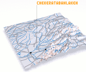 Places with similar names to Cheker ‘Aţā Bahlakeh, Iran :: Disclaimer :: Information on this page comes without warranty of any kind |
||
|
Where is Cheker ‘Aţā Bahlakeh? Elevation and coordinates ::
Latitude (lat): 37°21'0"N Longitude (lon): 55°18'0"E
Elevation (approx.): 51m (map arrows pan, magnifying glasses zoom) |
||
|
Visiting Cheker ‘Aţā Bahlakeh? Hotel/Accommodation ::
Book a hotel in Cheker ‘Aţā Bahlakeh Travel Guide ::
Buy a travel guide for Iran rental cars ::
car rental offers GPS waypoint ::
download a GPX waypoint (PoI) of Cheker ‘Aţā Bahlakeh for your GPS receiver
|
||