|
search place name
|
||
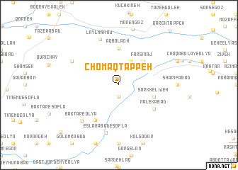
Chomāq Tappeh (Ostān-e Kermānshāh, Iran)Chomāq Tappeh is a town in the Ostān-e Kermānshāh region of Iran. An overview map of the region around Chomāq Tappeh is displayed below.
regional and 3d topo map of Chomāq Tappeh, Iran ::
Chomāq Tappeh airports ::
The nearest airport is KSH - Bakhtaran Shahid Ashrafi Esfahani, located 61.1 km south west of Chomāq Tappeh.
Other airports nearby include SDG - Sanandaj (87.7 km north west), Nearby towns ::
Deh Āsīāb (1.9km south) //
Qeshlāq (4.0km north) //
Fārsīnaj (4.8km north east) //
Fārsīnaj (4.7km north east) //
Āq Bolāgh (5.8km north) //
Sorkhelījeh (4.9km east) //
Malekābād (5.9km south east) //
Hālān (6.3km south west) //
Kangār Shāh-e ‘Olyā (7.7km south) //
Eslāmābād-e Soflá (7.7km south) //
Laylmānaj (7.6km north) //
Baktar-e ‘Olyā (7.4km south west) //
Ḩoseynābād-e Qūrīchāy (7.1km north west) //
Mārengāz (9.0km north) //
Qareh Tappeh (10.7km north east) //
[all distances 'as the bird flies' and approximate] 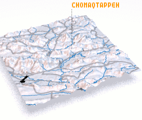 Places with similar names to Chomāq Tappeh, Iran ::
// Ch'imgotp'o (KP)
Disclaimer :: Information on this page comes without warranty of any kind |
||
|
Where is Chomāq Tappeh? Elevation and coordinates ::
Latitude (lat): 34°41'0"N Longitude (lon): 47°41'0"E
Elevation (approx.): 1998m (map arrows pan, magnifying glasses zoom) |
||
|
Visiting Chomāq Tappeh? Hotel/Accommodation ::
Book a hotel in Chomāq Tappeh Travel Guide ::
Buy a travel guide for Iran rental cars ::
car rental offers GPS waypoint ::
download a GPX waypoint (PoI) of Chomāq Tappeh for your GPS receiver
|
||