|
search place name
|
||
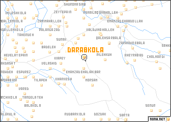
Dārāb Kolā (Iran)Dārāb Kolā is a town in Iran. An overview map of the region around Dārāb Kolā is displayed below.
regional and 3d topo map of Dārāb Kolā, Iran ::
Dārāb Kolā airports ::
The nearest airport is THR - Teheran Mehrabad Intl, located 199.8 km south west of Dārāb Kolā.
Nearby towns ::
Osā (1.7km south) //
Jāmkhāneh (2.1km north) //
Jām Khāneh (3.1km north) //
Emāmzādeh ‘Alīakbar (3.5km south) //
Pīleh Kūh (3.5km east) //
Soqandī Kolā (4.3km north west) //
Lālīm (3.9km north west) //
Esbū Kolā (4.3km south west) //
Asram (5.2km north) //
Kīā Pey (4.3km west) //
Morsam (5.5km south) //
Şafarābād (5.8km north) //
Anjīl Nesām (5.2km north west) //
Sūrak (5.5km north west) //
Qal‘eh Sar Bālā (5.7km north east) //
Qal‘eh Sar-e Pā'īn (5.7km north east) //
Valajī Maḩalleh (6.4km north east) //
Berījān (6.4km north east) //
Owmāl (6.6km north east) //
Khār Kesh (6.4km south west) //
Zarrīnābād-e Bālā (6.8km south west) //
Velāshīd (6.4km west) //
Valāshīd (6.4km west) //
Now Dehak (8.0km north) //
Bādeleh (6.6km west) //
Zarrīnābād-e Pā'īn (7.1km south west) //
Eslāmābād (8.3km north west) //
Zeyt-e Bālā (9.1km north) //
Shahrīār Kandeh (9.0km north west) //
[all distances 'as the bird flies' and approximate] 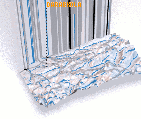 Places with similar names to Dārāb Kolā, Iran ::
Disclaimer :: Information on this page comes without warranty of any kind |
||
|
Where is Dārāb Kolā? Elevation and coordinates ::
Latitude (lat): 36°33'53"N Longitude (lon): 53°15'11"E
Elevation (approx.): 130m (map arrows pan, magnifying glasses zoom) |
||
|
Visiting Dārāb Kolā? Hotel/Accommodation ::
Book a hotel in Dārāb Kolā Travel Guide ::
Buy a travel guide for Iran rental cars ::
car rental offers GPS waypoint ::
download a GPX waypoint (PoI) of Dārāb Kolā for your GPS receiver
|
||