|
search place name
|
||
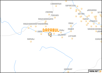
Darābūl (Sīstān va Balūchestān, Iran)Darābūl is a town in the Sīstān va Balūchestān region of Iran. An overview map of the region around Darābūl is displayed below.
regional and 3d topo map of Darābūl, Iran ::
Darābūl airports ::
The nearest airport is ZBR - Chah Bahar, located 51.1 km west of Darābūl.
Other airports nearby include GWD - Gwadar (152.2 km east), Nearby towns ::
Dadīk (0.0km north) //
Rīk (1.4km north east) //
Sar Daj (3.3km west) //
Jīrdaj (3.7km north east) //
Gojarāt (3.7km east) //
Lātkhān-e Bālā (4.1km north west) //
Nadekān (5.4km north) //
Nadekān-e Gūrmī (5.8km north) //
Lātkhān-e Pā'īn (5.3km west) //
Nadekān-e Shafī‘ Moḩammad (6.2km north west) //
Torkānī (7.0km north) //
Raden (6.9km east) //
Rādū (6.9km east) //
Sar Daj (6.9km west) //
Lātīdān (7.1km east) //
Zahrāb (8.1km north) //
Shafī‘ Moḩammad (7.6km north east) //
Nadekān-e Shahdād (7.6km north west) //
Rādū (7.7km north east) //
Nadekān Sarī (8.0km north west) //
[all distances 'as the bird flies' and approximate] 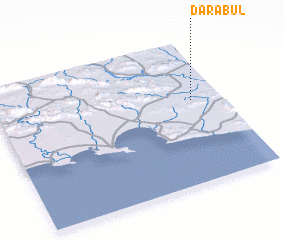 Places with similar names to Darābūl, Iran ::
Disclaimer :: Information on this page comes without warranty of any kind |
||
|
Where is Darābūl? Elevation and coordinates ::
Latitude (lat): 25°35'0"N Longitude (lon): 60°52'0"E
Elevation (approx.): 54m (map arrows pan, magnifying glasses zoom) |
||
|
Visiting Darābūl? Hotel/Accommodation ::
Book a hotel in Darābūl Travel Guide ::
Buy a travel guide for Iran rental cars ::
car rental offers GPS waypoint ::
download a GPX waypoint (PoI) of Darābūl for your GPS receiver
|
||