|
search place name
|
||
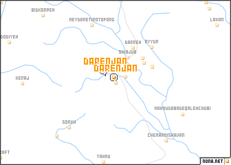
Dārenjān (Fārs, Iran)Dārenjān is a town in the Fārs region of Iran. An overview map of the region around Dārenjān is displayed below.
regional and 3d topo map of Dārenjān, Iran ::
Dārenjān airports ::
The nearest airport is SYZ - Shiraz Shahid Dastghaib Intl, located 27.8 km north east of Dārenjān.
Other airports nearby include BUZ - Bushehr (155.9 km west), Nearby towns ::
Dādanjān (0.0km north) //
Bodeyjān (1.7km north east) //
Dārenjān (1.8km north west) //
Shīb Jūb (4.4km north east) //
Fūrjān (5.2km north east) //
Bābā Ayyūr (5.5km north east) //
Darreh (6.1km north east) //
Khārakān (5.8km north east) //
Deh Bāl (5.8km north east) //
Kedenj (5.8km north east) //
Ayyūr (7.7km north east) //
Sorkh (9.9km south west) //
[all distances 'as the bird flies' and approximate] 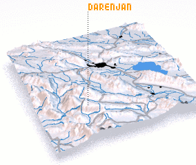 Places with similar names to Dārenjān, Iran ::
Disclaimer :: Information on this page comes without warranty of any kind |
||
|
Where is Dārenjān? Elevation and coordinates ::
Latitude (lat): 29°23'58"N Longitude (lon): 52°21'5"E
Elevation (approx.): 1817m (map arrows pan, magnifying glasses zoom) |
||
|
Visiting Dārenjān? Hotel/Accommodation ::
Book a hotel in Dārenjān Travel Guide ::
Buy a travel guide for Iran rental cars ::
car rental offers GPS waypoint ::
download a GPX waypoint (PoI) of Dārenjān for your GPS receiver
|
||