|
search place name
|
||
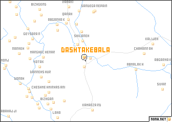
Dashtak-e Bālā (Ostān-e Kohgīlūyeh va Būyer Aḩmad, Iran)Dashtak-e Bālā is a town in the Ostān-e Kohgīlūyeh va Būyer Aḩmad region of Iran. An overview map of the region around Dashtak-e Bālā is displayed below.
regional and 3d topo map of Dashtak-e Bālā, Iran ::
Dashtak-e Bālā airports ::
The nearest airport is QMJ - Masjed Soleiman Shahid Asyaee, located 211.5 km north west of Dashtak-e Bālā.
Other airports nearby include SYZ - Shiraz Shahid Dastghaib Intl (220.0 km south east), Nearby towns ::
Khersān (1.0km north east) //
Meymand (1.3km south) //
Katā (2.3km north) //
Chāleh Bādām (4.0km north west) //
Shīlāneh (4.4km north) //
Yūnekī (6.5km north) //
Gerdāb (8.3km north) //
Gowdelūn (8.6km north west) //
Garūzeh (8.3km south west) //
Rostam Begī (9.1km north west) //
Banestān (9.6km south west) //
Āb Garmak (9.6km north west) //
Cheshmeh Mīr Ḩasanī (9.8km south west) //
Rū Dashtī (10.7km south west) //
[all distances 'as the bird flies' and approximate] 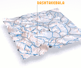 Places with similar names to Dashtak-e Bālā, Iran ::
// Dashtok-e Bālā (IR)
Disclaimer :: Information on this page comes without warranty of any kind |
||
|
Where is Dashtak-e Bālā? Elevation and coordinates ::
Latitude (lat): 31°9'38"N Longitude (lon): 51°16'11"E
Elevation (approx.): 1698m (map arrows pan, magnifying glasses zoom) |
||
|
Visiting Dashtak-e Bālā? Hotel/Accommodation ::
Book a hotel in Dashtak-e Bālā Travel Guide ::
Buy a travel guide for Iran rental cars ::
car rental offers GPS waypoint ::
download a GPX waypoint (PoI) of Dashtak-e Bālā for your GPS receiver
|
||