|
search place name
|
||
Dashtāndar (Sīstān va Balūchestān, Iran)Dashtāndar is a town in the Sīstān va Balūchestān region of Iran. An overview map of the region around Dashtāndar is displayed below.
regional and 3d topo map of Dashtāndar, Iran ::

Dashtāndar airports ::
The nearest airport is ZBR - Chah Bahar, located 109.8 km south of Dashtāndar.
Other airports nearby include GWD - Gwadar (221.5 km south east), Nearby towns ::
Jā-ye Moḩammad (0.2km east) //
Kūh Sar (0.7km east) //
Mārān Rāh (1.2km south east) //
Nūkāykal (1.5km north) //
Māhbān (1.5km north) //
Orang (2.6km north east) //
Ūrnak (2.9km north east) //
Gūrī (3.6km south) //
Kūshāt (3.6km south) //
Karīmvār (3.7km south) //
Lālnajash (3.8km south) //
Owrang (5.0km north east) //
Kahīr-e Yag Sar (5.3km south east) //
Bālyord (7.3km west) //
Mīshūd (8.8km north) //
Rāvk (10.6km south west) //
[all distances 'as the bird flies' and approximate] 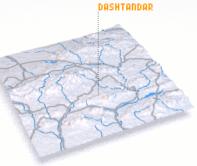 Places with similar names to Dashtāndar, Iran ::
// Dasht Andar (IR)
Disclaimer :: Information on this page comes without warranty of any kind |
||
|
Where is Dashtāndar? Elevation and coordinates ::
Latitude (lat): 26°25'19"N Longitude (lon): 60°33'10"E
Elevation (approx.): 973m (map arrows pan, magnifying glasses zoom) |
||
|
Visiting Dashtāndar? Hotel/Accommodation ::
Book a hotel in Dashtāndar Travel Guide ::
Buy a travel guide for Iran rental cars ::
car rental offers GPS waypoint ::
download a GPX waypoint (PoI) of Dashtāndar for your GPS receiver
|
||