|
search place name
|
||
Daţdaţ (Sīstān va Balūchestān, Iran)Daţdaţ is a town in the Sīstān va Balūchestān region of Iran. An overview map of the region around Daţdaţ is displayed below.
regional and 3d topo map of Daţdaţ, Iran ::

Daţdaţ airports ::
The nearest airport is ZBR - Chah Bahar, located 28.3 km east of Daţdaţ.
Other airports nearby include MCT - Muscat Seeb Intl (277.8 km south west), Nearby towns ::
Kahīr-e Shahdād (2.0km west) //
Būr Sar (4.7km north) //
Garrow (6.7km south east) //
Machī (6.5km east) //
Vash Kowsh (6.8km east) //
Shahdād-e Kahīr (8.5km north west) //
Soheyl (8.9km north) //
Tall-e Mīchān (9.0km north) //
[all distances 'as the bird flies' and approximate] 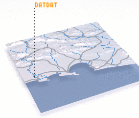 Places with similar names to Daţdaţ, Iran ::
// Touti Touti (NE)
// Dadi Daoudé (SN)
// Taadadat (MA)
// Tadadat (MA)
// Taoudoudout (MA)
// Tititut (MM)
Disclaimer :: Information on this page comes without warranty of any kind |
||
|
Where is Daţdaţ? Elevation and coordinates ::
Latitude (lat): 25°28'13"N Longitude (lon): 60°6'9"E
Elevation (approx.): 12m (map arrows pan, magnifying glasses zoom) |
||
|
Visiting Daţdaţ? Hotel/Accommodation ::
Book a hotel in Daţdaţ Travel Guide ::
Buy a travel guide for Iran rental cars ::
car rental offers GPS waypoint ::
download a GPX waypoint (PoI) of Daţdaţ for your GPS receiver
|
||