|
search place name
|
||
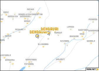
Deh Da‘vā'ī (Kermān, Iran)Deh Da‘vā'ī is a town in the Kermān region of Iran. An overview map of the region around Deh Da‘vā'ī is displayed below.
regional and 3d topo map of Deh Da‘vā'ī, Iran ::
Deh Da‘vā'ī airports ::
The nearest airport is KER - Kerman, located 114.3 km north east of Deh Da‘vā'ī.
Nearby towns ::
Chenārbarīn (1.3km south) //
Fereydūn (1.6km north) //
Dodarān (1.6km north) //
Bāgh Shā‘er (1.6km north) //
Gū'īn (2.4km north) //
Gesmān (2.4km north east) //
Mūr-e Dīn (2.9km east) //
Deh Da‘vā'ī (3.8km west) //
Allāhābād (4.7km south west) //
‘Azīzābād (5.8km south east) //
Rūchūn-e Bālā (7.5km north west) //
Vakīlābād (6.9km south east) //
Lānegū (7.4km east) //
Hefdah Chenār (9.3km north west) //
Hendīz (8.6km north west) //
Seh Qolū'īyeh-ye Bar Āftāb (9.4km north west) //
Takzeh Abreqūn (9.5km north west) //
[all distances 'as the bird flies' and approximate] 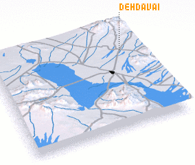 Places with similar names to Deh Da‘vā'ī, Iran ::
Disclaimer :: Information on this page comes without warranty of any kind |
||
|
Where is Deh Da‘vā'ī? Elevation and coordinates ::
Latitude (lat): 29°48'10"N Longitude (lon): 55°53'50"E
Elevation (approx.): 2261m (map arrows pan, magnifying glasses zoom) |
||
|
Visiting Deh Da‘vā'ī? Hotel/Accommodation ::
Book a hotel in Deh Da‘vā'ī Travel Guide ::
Buy a travel guide for Iran rental cars ::
car rental offers GPS waypoint ::
download a GPX waypoint (PoI) of Deh Da‘vā'ī for your GPS receiver
|
||