|
search place name
|
||
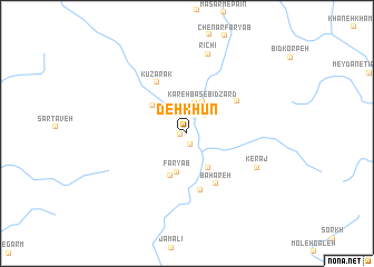
Deh Khūn (Fārs, Iran)Deh Khūn is a town in the Fārs region of Iran. An overview map of the region around Deh Khūn is displayed below.
regional and 3d topo map of Deh Khūn, Iran ::
Deh Khūn airports ::
The nearest airport is SYZ - Shiraz Shahid Dastghaib Intl, located 44.2 km east of Deh Khūn.
Other airports nearby include BUZ - Bushehr (138.9 km west), Nearby towns ::
Deh Namak (0.5km west) //
Pīr Moḩammad (1.1km south) //
Khonī Gīneh (2.0km north) //
Kāzarak (2.0km north) //
Beneger (2.4km north east) //
Bamzar (3.1km north) //
Kareh Bas-e Bīd Zārd (3.4km north east) //
Kareh Bas (3.4km north east) //
Fāryāb (4.0km south) //
Rokhsaneh (3.9km south east) //
Boneh Zard (4.1km north west) //
Sabūk (4.5km south) //
Bahāreh (5.7km south east) //
Romeqān (5.8km south) //
Kūzarak (5.7km north west) //
Dodīyeh (5.4km north east) //
Kerāj (7.0km south east) //
Rīchī (8.2km north) //
[all distances 'as the bird flies' and approximate] 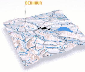 Places with similar names to Deh Khūn, Iran ::
Disclaimer :: Information on this page comes without warranty of any kind |
||
|
Where is Deh Khūn? Elevation and coordinates ::
Latitude (lat): 29°25'43"N Longitude (lon): 52°9'6"E
Elevation (approx.): 1475m (map arrows pan, magnifying glasses zoom) |
||
|
Visiting Deh Khūn? Hotel/Accommodation ::
Book a hotel in Deh Khūn Travel Guide ::
Buy a travel guide for Iran rental cars ::
car rental offers GPS waypoint ::
download a GPX waypoint (PoI) of Deh Khūn for your GPS receiver
|
||