|
search place name
|
||
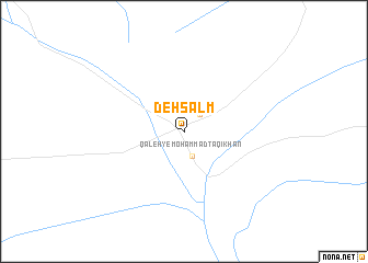
Deh Salm (Khorāsān, Iran)Deh Salm is a town in the Khorāsān region of Iran. An overview map of the region around Deh Salm is displayed below.
regional and 3d topo map of Deh Salm, Iran ::
Deh Salm airports ::
The nearest airport is XBJ - Birjand, located 188.5 km north of Deh Salm.
Other airports nearby include ZAH - Zahedan Intl (244.4 km south east), Nearby towns ::
Qal‘eh-ye Deh Bālā (2.2km north east) //
Qal‘eh-ye Moḩammad Tāqī Khān (2.6km south) //
[all distances 'as the bird flies' and approximate] 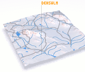 Places with similar names to Deh Salm, Iran ::
Disclaimer :: Information on this page comes without warranty of any kind |
||
|
Where is Deh Salm? Elevation and coordinates ::
Latitude (lat): 31°11'57"N Longitude (lon): 59°19'16"E
Elevation (approx.): 814m (map arrows pan, magnifying glasses zoom) |
||
|
Visiting Deh Salm? Hotel/Accommodation ::
Book a hotel in Deh Salm Travel Guide ::
Buy a travel guide for Iran rental cars ::
car rental offers GPS waypoint ::
download a GPX waypoint (PoI) of Deh Salm for your GPS receiver
|
||