|
search place name
|
||
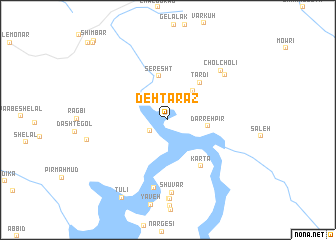
Deh Tarāz (Khūzestān, Iran)Deh Tarāz is a town in the Khūzestān region of Iran. An overview map of the region around Deh Tarāz is displayed below.
regional and 3d topo map of Deh Tarāz, Iran ::
Deh Tarāz airports ::
The nearest airport is QMJ - Masjed Soleiman Shahid Asyaee, located 52.2 km south west of Deh Tarāz.
Other airports nearby include AWZ - Ahwaz (138.5 km south west), MRX - Bandar Mahshahr Mahshahr (199.3 km south), ABD - Abadan (255.1 km south west), Nearby towns ::
Pīr ‘Abbās (2.1km south west) //
Algī (4.0km north east) //
Darreh Pīr (3.8km east) //
Seresht (5.0km north) //
Tardī (5.1km north east) //
Kārtā (6.0km south east) //
Dowtūpar (7.7km south) //
Cholcholī (7.4km north east) //
Shūvār (8.1km south) //
Sar Bāzār (7.4km north east) //
Seh Eshkaftān (8.8km south) //
Shavār (8.8km south) //
Tālī (9.7km south west) //
Tūlī (9.7km south west) //
Deh-e Seyyed (11.2km north west) //
Shīmbār (11.2km north west) //
[all distances 'as the bird flies' and approximate] 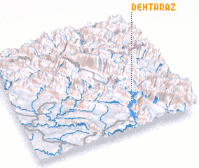 Places with similar names to Deh Tarāz, Iran ::
Disclaimer :: Information on this page comes without warranty of any kind |
||
|
Where is Deh Tarāz? Elevation and coordinates ::
Latitude (lat): 32°17'21"N Longitude (lon): 49°42'32"E
Elevation (approx.): 570m (map arrows pan, magnifying glasses zoom) |
||
|
Visiting Deh Tarāz? Hotel/Accommodation ::
Book a hotel in Deh Tarāz Travel Guide ::
Buy a travel guide for Iran rental cars ::
car rental offers GPS waypoint ::
download a GPX waypoint (PoI) of Deh Tarāz for your GPS receiver
|
||