|
search place name
|
||
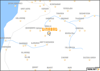
Dīnābād (Ostān-e Āz̄arbāyjān-e Sharqī, Iran)Dīnābād is a town in the Ostān-e Āz̄arbāyjān-e Sharqī region of Iran. An overview map of the region around Dīnābād is displayed below.
regional and 3d topo map of Dīnābād, Iran ::
Dīnābād airports ::
The nearest airport is TBZ - Tabriz Intl, located 56.4 km north east of Dīnābād.
Nearby towns ::
Qezel Dāgh (1.5km west) //
Nādīlū (2.7km north) //
Haft Cheshmeh (3.5km south) //
Torshkūh (3.5km north west) //
Bozorg Tappeh (3.5km north west) //
Bādāmyār (3.5km north east) //
Kharājū (5.6km north) //
Ūjā Dāgh (5.8km south west) //
Amīrdīzaj (5.9km east) //
Qūshqarā (6.2km west) //
Gavāhīr (7.1km north east) //
Tāḩīneh (8.0km north) //
Yalī Qayeh (8.1km south east) //
[all distances 'as the bird flies' and approximate] 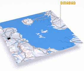 Places with similar names to Dīnābād, Iran ::
Disclaimer :: Information on this page comes without warranty of any kind |
||
|
Where is Dīnābād? Elevation and coordinates ::
Latitude (lat): 37°40'0"N Longitude (lon): 45°59'0"E
Elevation (approx.): 1992m (map arrows pan, magnifying glasses zoom) |
||
|
Visiting Dīnābād? Hotel/Accommodation ::
Book a hotel in Dīnābād Travel Guide ::
Buy a travel guide for Iran rental cars ::
car rental offers GPS waypoint ::
download a GPX waypoint (PoI) of Dīnābād for your GPS receiver
|
||