|
search place name
|
||
Dūstān (Ostān-e Āz̄arbāyjān-e Gharbī, Iran)Dūstān is a town in the Ostān-e Āz̄arbāyjān-e Gharbī region of Iran. An overview map of the region around Dūstān is displayed below.
regional and 3d topo map of Dūstān, Iran ::

Dūstān airports ::
The nearest airport is VAN - Van, located 116.2 km north west of Dūstān.
Other airports nearby include TBZ - Tabriz Intl (155.8 km east), Nearby towns ::
Bālakān (0.9km south east) //
Barāzī (4.6km north east) //
Delazī (5.4km north west) //
Sol Ḩasan (5.6km south east) //
Lūrā Shīrīn (6.0km north east) //
Gūzīk (6.2km north west) //
Shīrvānī (6.9km west) //
Ḩasanlū (8.7km south) //
Dīlmānderīk (8.3km north east) //
Shīranī (8.0km north east) //
Teghnīt-e Dār Darahsī (9.5km north west) //
Ostūnrash (10.1km north west) //
[all distances 'as the bird flies' and approximate] 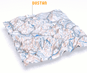 Places with similar names to Dūstān, Iran ::
Disclaimer :: Information on this page comes without warranty of any kind |
||
|
Where is Dūstān? Elevation and coordinates ::
Latitude (lat): 37°56'22"N Longitude (lon): 44°28'38"E
Elevation (approx.): 2365m (map arrows pan, magnifying glasses zoom) |
||
|
Visiting Dūstān? Hotel/Accommodation ::
Book a hotel in Dūstān Travel Guide ::
Buy a travel guide for Iran rental cars ::
car rental offers GPS waypoint ::
download a GPX waypoint (PoI) of Dūstān for your GPS receiver
|
||