|
search place name
|
||
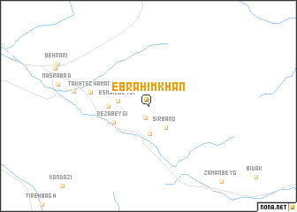
Ebrāhīm Khān (Fārs, Iran)Ebrāhīm Khān is a town in the Fārs region of Iran. An overview map of the region around Ebrāhīm Khān is displayed below.
regional and 3d topo map of Ebrāhīm Khān, Iran ::
Ebrāhīm Khān airports ::
The nearest airport is SYZ - Shiraz Shahid Dastghaib Intl, located 91.7 km south of Ebrāhīm Khān.
Other airports nearby include AZD - Yazd Shahid Sadooghi (223.1 km north east), BUZ - Bushehr (245.3 km south west), Nearby towns ::
Dīn Moḩammadī (1.6km south) //
Sīr Bānū (3.3km south east) //
Qal‘eh-ye Sīr Bānū (3.5km south) //
Esmā‘īl Beygī (3.4km west) //
Reẕā Beygī (4.3km south west) //
Dordāneh (4.3km west) //
Takht-e Chaman (6.5km west) //
[all distances 'as the bird flies' and approximate] 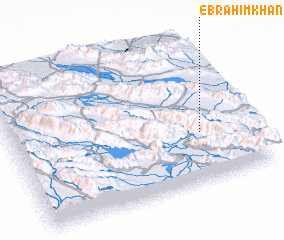 Places with similar names to Ebrāhīm Khān, Iran ::
// Ebrāhīm Khānī (IR)
Disclaimer :: Information on this page comes without warranty of any kind |
||
|
Where is Ebrāhīm Khān? Elevation and coordinates ::
Latitude (lat): 30°20'51"N Longitude (lon): 52°47'40"E
Elevation (approx.): 2272m (map arrows pan, magnifying glasses zoom) |
||
|
Visiting Ebrāhīm Khān? Hotel/Accommodation ::
Book a hotel in Ebrāhīm Khān Travel Guide ::
Buy a travel guide for Iran rental cars ::
car rental offers GPS waypoint ::
download a GPX waypoint (PoI) of Ebrāhīm Khān for your GPS receiver
|
||