|
search place name
|
||
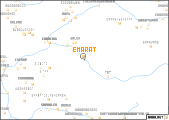
‘Emārat (Lorestān, Iran)‘Emārat is a town in the Lorestān region of Iran. An overview map of the region around ‘Emārat is displayed below.
regional and 3d topo map of ‘Emārat, Iran ::
‘Emārat airports ::
The nearest airport is QMJ - Masjed Soleiman Shahid Asyaee, located 150.9 km south of ‘Emārat.
Other airports nearby include KSH - Bakhtaran Shahid Ashrafi Esfahani (206.1 km north west), Nearby towns ::
Jaleh (4.4km north west) //
Darreh Chenār (4.4km north west) //
Bar Āftāb (4.7km north west) //
Tappeh Tī (5.6km south east) //
Ţey (5.6km south east) //
Talkestān (6.8km west) //
Cham Chīd (7.6km north west) //
Rāken-e Pāʼīn (9.1km north) //
Darreh-ye Dang (9.3km south) //
Amīrābād-e Gūrkash (8.4km north west) //
Darreh-ye Aspar (10.5km north east) //
Sar Tang-e Lashgareh (11.0km south west) //
Sar Tang-e Lashgareh (11.0km south west) //
[all distances 'as the bird flies' and approximate] 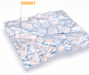 Places with similar names to ‘Emārat, Iran ::
Disclaimer :: Information on this page comes without warranty of any kind |
||
|
Where is ‘Emārat? Elevation and coordinates ::
Latitude (lat): 33°20'56"N Longitude (lon): 49°2'13"E
Elevation (approx.): 1450m (map arrows pan, magnifying glasses zoom) |
||
|
Visiting ‘Emārat? Hotel/Accommodation ::
Book a hotel in ‘Emārat Travel Guide ::
Buy a travel guide for Iran rental cars ::
car rental offers GPS waypoint ::
download a GPX waypoint (PoI) of ‘Emārat for your GPS receiver
|
||