|
search place name
|
||
‘Eshratābād (Iran)‘Eshratābād is a town in Iran. An overview map of the region around ‘Eshratābād is displayed below.
regional and 3d topo map of ‘Eshratābād, Iran ::

‘Eshratābād airports ::
The nearest airport is SDG - Sanandaj, located 171.6 km south west of ‘Eshratābād.
Other airports nearby include RAS - Rasht (173.7 km north east), TBZ - Tabriz Intl (220.3 km north west), Nearby towns ::
Jadāqīyeh (0.0km north) //
Chataz (1.6km south west) //
Īncheh-ye Sa‘īd Nez̧ām (3.4km south) //
Qareh Gol (3.9km south west) //
Moghānlū (3.8km east) //
Zangīn (7.1km north east) //
Bīrūn Qeshlāq (6.7km west) //
Vehrān (8.1km north) //
Taqī Kandī (8.2km north) //
Qezlār Bolāghī (8.0km north east) //
Tūtāghājī (7.4km south west) //
Mādābād (8.7km north west) //
Khān Kandī (8.4km south west) //
Emām Kandī (8.4km south west) //
[all distances 'as the bird flies' and approximate] 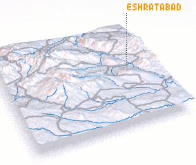 Places with similar names to ‘Eshratābād, Iran ::
// ‘Eshratābād (IR)
// ‘Eshratābād (IR)
// ‘Eshratābād (IR)
// ‘Eshratābād (IR)
// ‘Eshratābād (IR)
// ‘Eshratābād (IR)
// ‘Eshratābād (IR)
// ‘Eshratābād (IR)
// ‘Eshratābād (IR)
// ‘Eshratābād (IR)
Disclaimer :: Information on this page comes without warranty of any kind |
||
|
Where is ‘Eshratābād? Elevation and coordinates ::
Latitude (lat): 36°37'46"N Longitude (lon): 47°51'28"E
Elevation (approx.): 1684m (map arrows pan, magnifying glasses zoom) |
||
|
Visiting ‘Eshratābād? Hotel/Accommodation ::
Book a hotel in ‘Eshratābād Travel Guide ::
Buy a travel guide for Iran rental cars ::
car rental offers GPS waypoint ::
download a GPX waypoint (PoI) of ‘Eshratābād for your GPS receiver
|
||