|
search place name
|
||
Fakhrābād (Golestān, Iran)Fakhrābād is a town in the Golestān region of Iran. An overview map of the region around Fakhrābād is displayed below.
regional and 3d topo map of Fakhrābād, Iran ::
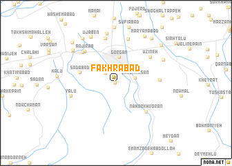
Nearby towns ::
Tūshan (0.1km south west) //
Galan Tārīkī (2.0km north west) //
Qal‘eh Ḩasan (2.6km east) //
Gorgān (4.1km north) //
Sa‘dābād (5.0km west) //
Nahār Khvorān (6.1km south east) //
Ūzīneh (6.1km north east) //
Anjīr Āb (6.4km north west) //
Bāgh-e Golbon (5.8km east) //
Tappeh-ye Rāhnemā'ī (6.5km north west) //
Karīmābād (7.2km north) //
Khargūsh Tappeh (7.2km north) //
Yālū (6.2km west) //
Kordābād (8.0km north) //
Ūjāben (8.0km north west) //
Naşrābād (7.2km north east) //
Fatḩ Bāgh (7.6km north west) //
Pat Bāgh (7.6km north west) //
Maryamābād (8.4km north east) //
Zangīān (8.3km north west) //
Amīrābād (8.9km north) //
Valīkābād (8.5km north east) //
Feyẕābād (8.4km north east) //
Lāmlang (8.5km north west) //
[all distances 'as the bird flies' and approximate] 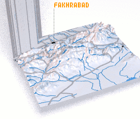 Places with similar names to Fakhrābād, Iran ::
Disclaimer :: Information on this page comes without warranty of any kind |
||
|
Where is Fakhrābād? Elevation and coordinates ::
Latitude (lat): 36°48'10"N Longitude (lon): 54°25'53"E
Elevation (approx.): 196m (map arrows pan, magnifying glasses zoom) |
||
|
Visiting Fakhrābād? Hotel/Accommodation ::
Book a hotel in Fakhrābād Travel Guide ::
Buy a travel guide for Iran rental cars ::
car rental offers GPS waypoint ::
download a GPX waypoint (PoI) of Fakhrābād for your GPS receiver
|
||