|
search place name
|
||
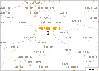
Fashālanj (Iran)Fashālanj is a town in Iran. An overview map of the region around Fashālanj is displayed below.
regional and 3d topo map of Fashālanj, Iran ::
Fashālanj airports ::
The nearest airport is RAS - Rasht, located 108.6 km north of Fashālanj.
Other airports nearby include RZR - Ramsar (122.4 km north east), THR - Teheran Mehrabad Intl (179.2 km south east), Nearby towns ::
Chenārestān (1.5km east) //
Dargoveyr (2.4km north west) //
Yūzbāshī Chāy (4.0km north) //
Gowzgalan (4.0km south) //
Zājkān-e Pā'īn Qeshlāq (3.5km south west) //
Kūzeh Galan (4.0km south) //
Asadī (4.8km north east) //
Qomārlū (4.8km north west) //
Asfastān (4.5km east) //
Amīnābād (5.6km south) //
Eslāmābād (5.8km north) //
Qeshlāq-e Zāchkān-e Soflá (4.8km west) //
Rūdbar (4.8km north west) //
Selāqā'ī (5.8km north) //
Zājkān-e Bālā (4.8km west) //
Darbahān (7.6km south) //
Yalābād (6.3km east) //
Zājkān-e Pāʼīn (6.3km west) //
Qeshlāq-e Marshūn (6.3km east) //
Emāmzādeh Qāsem (7.0km north west) //
Sūleh Dar (8.0km south) //
Astalak (8.7km north west) //
Esbavīn (8.7km north east) //
Nīkūyeh (9.0km south east) //
[all distances 'as the bird flies' and approximate] 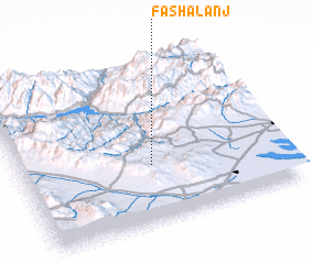 Places with similar names to Fashālanj, Iran :: Disclaimer :: Information on this page comes without warranty of any kind |
||
|
Where is Fashālanj? Elevation and coordinates ::
Latitude (lat): 36°21'0"N Longitude (lon): 49°30'0"E
Elevation (approx.): 1511m (map arrows pan, magnifying glasses zoom) |
||
|
Visiting Fashālanj? Hotel/Accommodation ::
Book a hotel in Fashālanj Travel Guide ::
Buy a travel guide for Iran rental cars ::
car rental offers GPS waypoint ::
download a GPX waypoint (PoI) of Fashālanj for your GPS receiver
|
||