|
search place name
|
||
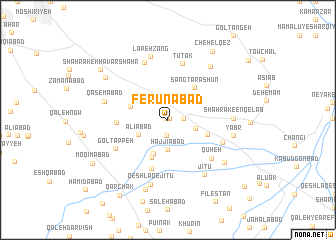
Ferūnābād (Markaz, Iran)Ferūnābād is a town in the Markaz region of Iran. An overview map of the region around Ferūnābād is displayed below.
regional and 3d topo map of Ferūnābād, Iran ::
Ferūnābād airports ::
The nearest airport is THR - Teheran Mehrabad Intl, located 33.7 km north west of Ferūnābād.
Other airports nearby include RZR - Ramsar (176.2 km north west), Nearby towns ::
Shahrak-e Valī-ye ‘Aşr (0.2km north west) //
Forūnābād (0.2km north east) //
Akbarābād (1.4km east) //
Qeshlāq-e Zīr-e Bāgh (1.7km south) //
Shahrak-e Qīām Dasht (2.7km east) //
Ḩājjīābād (3.2km south) //
‘Alīābād (3.1km south west) //
Qeshlāq-e Ḩājjīābād (4.0km south) //
‘Abbāsābād (3.7km north west) //
Abbāsābād-e ‘Alāqeh Band (3.7km north west) //
Qeshlāq-e Qal‘eh Now (4.4km south) //
Sang Tarāshūn (4.4km north east) //
Sang Tarāshān (4.4km north east) //
Khātūnābād (4.0km south east) //
Karīmābādād-e Tehrānchī (4.7km west) //
Qal‘eh Now (5.6km south) //
Tūtak (6.4km north) //
Qūheh (5.9km south east) //
Kolangī (5.5km south east) //
Gol Tappeh (5.7km south west) //
Lappeh Zang (6.7km north) //
Shahrak-e Enqelāb (5.9km east) //
Jītū (6.9km south east) //
Lapeh Zang (7.2km north) //
Qāsemābād (6.1km west) //
Yabr (6.2km east) //
Qeshlāq-e Jītū (7.4km south) //
Sīāh Darreh (7.1km north east) //
Palasht (7.0km south east) //
[all distances 'as the bird flies' and approximate] 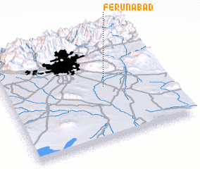
Disclaimer :: Information on this page comes without warranty of any kind |
||
|
Where is Ferūnābād? Elevation and coordinates ::
Latitude (lat): 35°30'56"N Longitude (lon): 51°37'5"E
Elevation (approx.): 998m (map arrows pan, magnifying glasses zoom) |
||
|
Visiting Ferūnābād? Hotel/Accommodation ::
Book a hotel in Ferūnābād Travel Guide ::
Buy a travel guide for Iran rental cars ::
car rental offers GPS waypoint ::
download a GPX waypoint (PoI) of Ferūnābād for your GPS receiver
|
||