|
search place name
|
||
Gadamābād (Golestān, Iran)Gadamābād is a town in the Golestān region of Iran. An overview map of the region around Gadamābād is displayed below.
regional and 3d topo map of Gadamābād, Iran ::
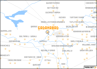
Nearby towns ::
Qalandarābād-e Bālā (1.0km south) //
Khūjomlī (1.9km south) //
Karamābād (1.5km east) //
Āqyā (2.4km north east) //
Chāy Būnī (3.2km south east) //
Āq Qāyeh (3.6km north east) //
Kūreklī (4.0km south) //
Qarāvol Tappeh (3.5km north west) //
Maḩalleh-ye Ākhūndābād (4.0km north) //
Gonbad-e Kāvūs (3.4km east) //
Mollā Taqī (4.4km east) //
Dāshlī (4.8km south west) //
Dāshlī-ye Pā'īn (4.8km south west) //
Dāshlī-ye Bālā (4.8km south west) //
Sa‘eh Makhtūm (4.8km south east) //
Āq Chalī-ye Pā'īn (7.4km south) //
Taqīābād (5.9km east) //
Āq Chalī-ye Bālā (7.6km south) //
Bāyjeq (7.6km south) //
Gūzangī Tappeh (7.6km north) //
Polī Ḩājjī (6.2km east) //
Ḩājjīlar Qal‘eh (6.2km east) //
Zābolābād (6.2km east) //
Arāz Moḩammad Ākhūnd (7.1km south east) //
Ertaq Ḩājjī (7.1km south east) //
Kūchek (7.1km north east) //
Araskhān (7.0km south east) //
‘Aţā Behlakeh (8.7km south) //
Ārteq Makhtūm (8.6km south east) //
[all distances 'as the bird flies' and approximate] 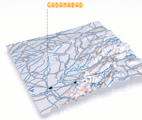 Places with similar names to Gadamābād, Iran ::
Disclaimer :: Information on this page comes without warranty of any kind |
||
|
Where is Gadamābād? Elevation and coordinates ::
Latitude (lat): 37°15'0"N Longitude (lon): 55°8'0"E
Elevation (approx.): 33m (map arrows pan, magnifying glasses zoom) |
||
|
Visiting Gadamābād? Hotel/Accommodation ::
Book a hotel in Gadamābād Travel Guide ::
Buy a travel guide for Iran rental cars ::
car rental offers GPS waypoint ::
download a GPX waypoint (PoI) of Gadamābād for your GPS receiver
|
||