|
search place name
|
||
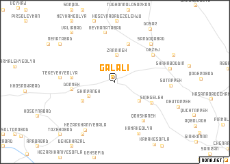
Galālī (Hamadān, Iran)Galālī is a town in the Hamadān region of Iran. An overview map of the region around Galālī is displayed below.
regional and 3d topo map of Galālī, Iran ::
Galālī airports ::
The nearest airport is SDG - Sanandaj, located 87.6 km west of Galālī.
Other airports nearby include KSH - Bakhtaran Shahid Ashrafi Esfahani (98.5 km south west), Nearby towns ::
Zarrīneh (4.3km north) //
Shīrvāneh (4.2km south west) //
Mollā Valī (4.5km south east) //
Qūrmeh Darreh (5.3km south west) //
Garmekhānī (6.4km north) //
Sīāh Geleh (6.1km south east) //
Tekeyeh-ye Soflá (5.8km west) //
Dormeh (5.9km west) //
Dezej (6.7km north east) //
Qomshāneh (7.5km south east) //
Meymanatābād (8.1km north) //
Şandoqābād (7.8km north east) //
Hezār Khānī-ye Bālā (8.8km south west) //
Kamak-e ‘Olyā (9.0km south) //
Cheshmeh Qareh (9.6km south west) //
Do Sar (9.9km north east) //
Shokrābād-e Meyham (9.9km north west) //
Valīābād (9.9km north west) //
[all distances 'as the bird flies' and approximate] 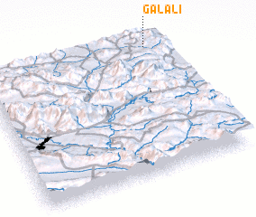 Places with similar names to Galālī, Iran ::
Disclaimer :: Information on this page comes without warranty of any kind |
||
|
Where is Galālī? Elevation and coordinates ::
Latitude (lat): 34°58'40"N Longitude (lon): 47°54'49"E
Elevation (approx.): 1912m (map arrows pan, magnifying glasses zoom) |
||
|
Visiting Galālī? Hotel/Accommodation ::
Book a hotel in Galālī Travel Guide ::
Buy a travel guide for Iran rental cars ::
car rental offers GPS waypoint ::
download a GPX waypoint (PoI) of Galālī for your GPS receiver
|
||