|
search place name
|
||
Ganj (Hormozgān, Iran)Ganj is a town in the Hormozgān region of Iran. An overview map of the region around Ganj is displayed below.
regional and 3d topo map of Ganj, Iran ::

Ganj airports ::
The nearest airport is BND - Bandar Abbass Intl, located 123.3 km south east of Ganj.
Other airports nearby include BDH - Bandar Lengeh (202.6 km south west), KIH - Kish Island (251.5 km south west), Nearby towns ::
Ţārom (2.6km south east) //
Golrū'īyeh (4.2km south) //
Rafī‘ābād (4.8km south) //
Patkū'īyeh (5.3km south east) //
Seyyed Jowzar (5.3km south west) //
Lāygazān-e Bālā (6.9km east) //
Lāygazān-e Pāʼīn (6.9km east) //
Lāy Gazān (7.5km east) //
Bar Āftāb (8.9km north) //
[all distances 'as the bird flies' and approximate] 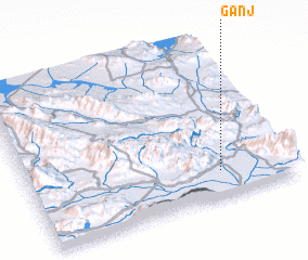 Places with similar names to Ganj, Iran ::
Disclaimer :: Information on this page comes without warranty of any kind |
||
|
Where is Ganj? Elevation and coordinates ::
Latitude (lat): 28°10'16"N Longitude (lon): 55°43'53"E
Elevation (approx.): 732m (map arrows pan, magnifying glasses zoom) |
||
|
Visiting Ganj? Hotel/Accommodation ::
Book a hotel in Ganj Travel Guide ::
Buy a travel guide for Iran rental cars ::
car rental offers GPS waypoint ::
download a GPX waypoint (PoI) of Ganj for your GPS receiver
|
||