|
search place name
|
||
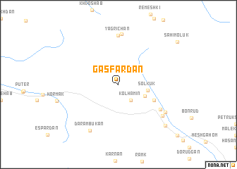
Gas Fardān (Sīstān va Balūchestān, Iran)Gas Fardān is a town in the Sīstān va Balūchestān region of Iran. An overview map of the region around Gas Fardān is displayed below.
regional and 3d topo map of Gas Fardān, Iran ::
Gas Fardān airports ::
The nearest airport is ZBR - Chah Bahar, located 168.2 km south east of Gas Fardān.
Nearby towns ::
Kol Hamīn (3.1km south east) //
Kalīhīmeh (4.2km south east) //
Solkūk (4.3km east) //
Kahūr Bolbol (5.6km south east) //
Hīātūr (7.1km south east) //
Yagrī Chān (7.8km north) //
Chāh Nandeh (8.0km north) //
Daram Būkān (8.3km south west) //
Kheyrābād (8.0km south east) //
Sebīlān (8.0km south east) //
Mīrābād (9.3km south east) //
[all distances 'as the bird flies' and approximate] 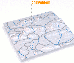 Places with similar names to Gas Fardān, Iran ::
// Casa Fortino (IT)
Disclaimer :: Information on this page comes without warranty of any kind |
||
|
Where is Gas Fardān? Elevation and coordinates ::
Latitude (lat): 26°42'23"N Longitude (lon): 59°26'58"E
Elevation (approx.): 890m (map arrows pan, magnifying glasses zoom) |
||
|
Visiting Gas Fardān? Hotel/Accommodation ::
Book a hotel in Gas Fardān Travel Guide ::
Buy a travel guide for Iran rental cars ::
car rental offers GPS waypoint ::
download a GPX waypoint (PoI) of Gas Fardān for your GPS receiver
|
||