|
search place name
|
||
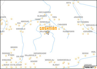
Gashnīān (Iran)Gashnīān is a town in Iran. An overview map of the region around Gashnīān is displayed below.
regional and 3d topo map of Gashnīān, Iran ::
Gashnīān airports ::
The nearest airport is THR - Teheran Mehrabad Intl, located 144.5 km west of Gashnīān.
Nearby towns ::
Amīr Kolā (1.2km west) //
Ḩājjī Kolā (1.2km west) //
Esmū Kolā (2.2km north) //
Esbūkolā (2.2km north) //
Chāsht Khvārān (4.0km north) //
Lafūrak (4.0km north) //
Mīrar Kolā (4.2km north) //
Kafāk (4.0km north east) //
Gālesh Kolā (4.8km north west) //
Pāshā Kolā (5.9km north) //
Chāk Sarā (5.2km north east) //
Naft Chāl (6.1km north) //
Tarū (6.1km north) //
Lazgchāl (5.3km north east) //
Tang Sar (5.3km north east) //
Merg Chāl (5.3km north east) //
Tamar (6.0km north west) //
‘Alam Kolā (6.7km north) //
Būr Khānī (6.7km north east) //
Shahr (6.7km north east) //
Deh Kalān (7.6km north) //
Rūdbār Sarā (6.3km east) //
Marzī Darreh (7.8km north) //
Darzī Kolā (6.9km north west) //
Kārī Kolā (7.7km north west) //
Gardaneh Sar (8.6km south) //
[all distances 'as the bird flies' and approximate] 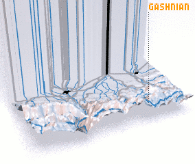 Places with similar names to Gashnīān, Iran ::
Disclaimer :: Information on this page comes without warranty of any kind |
||
|
Where is Gashnīān? Elevation and coordinates ::
Latitude (lat): 36°10'50"N Longitude (lon): 52°47'47"E
Elevation (approx.): 626m (map arrows pan, magnifying glasses zoom) |
||
|
Visiting Gashnīān? Hotel/Accommodation ::
Book a hotel in Gashnīān Travel Guide ::
Buy a travel guide for Iran rental cars ::
car rental offers GPS waypoint ::
download a GPX waypoint (PoI) of Gashnīān for your GPS receiver
|
||