|
search place name
|
||
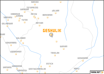
Geshūlīk (Kermān, Iran)Geshūlīk is a town in the Kermān region of Iran. An overview map of the region around Geshūlīk is displayed below.
regional and 3d topo map of Geshūlīk, Iran ::
Geshūlīk airports ::
The nearest airport is BND - Bandar Abbass Intl, located 143.2 km west of Geshūlīk.
Other airports nearby include KHS - Khasab (193.5 km south west), RKT - Ras Al Khaimah Intl (256.3 km south west), Nearby towns ::
Nom Garū (2.2km south east) //
Dūrkān (5.7km south east) //
Patkān (5.8km north west) //
Tākelāh (6.7km south) //
Bonkaram (7.2km north) //
Bāgh Bavārk (8.1km north west) //
Joldar (8.8km north) //
Sangar (9.0km north west) //
Neyvū (9.4km north west) //
[all distances 'as the bird flies' and approximate] 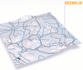
Disclaimer :: Information on this page comes without warranty of any kind |
||
|
Where is Geshūlīk? Elevation and coordinates ::
Latitude (lat): 27°11'9"N Longitude (lon): 57°49'21"E
Elevation (approx.): 863m (map arrows pan, magnifying glasses zoom) |
||
|
Visiting Geshūlīk? Hotel/Accommodation ::
Book a hotel in Geshūlīk Travel Guide ::
Buy a travel guide for Iran rental cars ::
car rental offers GPS waypoint ::
download a GPX waypoint (PoI) of Geshūlīk for your GPS receiver
|
||