|
search place name
|
||
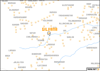
Gīlvānā (Gīlān, Iran)Gīlvānā is a town in the Gīlān region of Iran. An overview map of the region around Gīlvānā is displayed below.
regional and 3d topo map of Gīlvānā, Iran ::
Gīlvānā airports ::
The nearest airport is RAS - Rasht, located 57.5 km east of Gīlvānā.
Other airports nearby include RZR - Ramsar (161.2 km east), Nearby towns ::
Tālārgāh (1.3km south) //
Sīāh Khvānī (1.8km west) //
Khūn (2.6km south) //
Gūr (2.5km north east) //
Māsūleh Khānī (2.4km south east) //
Sefīd Dasht (2.5km south west) //
Khūshk Bīl (3.6km north) //
Tondvazeh (3.8km south) //
Parseh Nesā (3.1km east) //
‘Anbarā Dūl (3.9km north west) //
Arreh Cheshmeh (3.4km west) //
Nasrūn (4.3km south) //
Rīshāb (3.8km south west) //
Bīlī (4.5km south) //
Kūleh Sar (4.8km north) //
Vāshyār (4.9km south) //
Bernī Balengā (4.1km west) //
Salīmābād (4.1km south east) //
Seh Sarān (4.7km south west) //
Ūrī (4.5km east) //
Cheslī (4.9km south east) //
Tofangsāz (6.1km south) //
Dasagbod (5.6km south east) //
Sotūn (5.2km west) //
Ţāleb Darreh (5.3km east) //
Ūrmā (6.6km north) //
Chāy Khāleh (6.5km north) //
Tandūreh Poshteh (6.9km north) //
Khandīleh Posht (6.9km south) //
[all distances 'as the bird flies' and approximate] 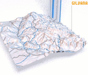 Places with similar names to Gīlvānā, Iran ::
Disclaimer :: Information on this page comes without warranty of any kind |
||
|
Where is Gīlvānā? Elevation and coordinates ::
Latitude (lat): 37°22'19"N Longitude (lon): 48°57'35"E
Elevation (approx.): 536m (map arrows pan, magnifying glasses zoom) |
||
|
Visiting Gīlvānā? Hotel/Accommodation ::
Book a hotel in Gīlvānā Travel Guide ::
Buy a travel guide for Iran rental cars ::
car rental offers GPS waypoint ::
download a GPX waypoint (PoI) of Gīlvānā for your GPS receiver
|
||