|
search place name
|
||
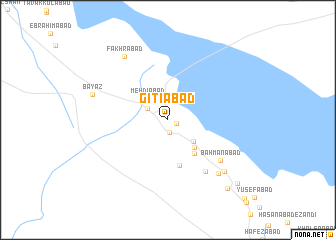
Gītīābād (Kermān, Iran)Gītīābād is a town in the Kermān region of Iran. An overview map of the region around Gītīābād is displayed below.
regional and 3d topo map of Gītīābād, Iran ::
Gītīābād airports ::
The nearest airport is KER - Kerman, located 143.2 km east of Gītīābād.
Other airports nearby include AZD - Yazd Shahid Sadooghi (181.2 km north west), Nearby towns ::
Ḩojjatābād (0.8km south east) //
Loţfābād (1.4km south) //
Shāmābād (2.3km north west) //
Mehdīābād (3.1km north west) //
Beheshtābād (3.4km south east) //
Aḩmadābād (4.0km south east) //
Esmā‘īlābād (4.6km south east) //
Moḩammadābād-e Sāqī (5.2km south) //
Vakīlābād (6.8km south east) //
Bahmanābād (6.7km south east) //
Taqīābād (7.7km south east) //
Ḩoseynābād (7.9km south east) //
Fakhrābād (8.2km north west) //
Bayāẕ (7.8km west) //
Maḩmūdābād (9.6km south east) //
‘Alīābād-e Vazīr (9.7km south east) //
Sharīfābād (11.4km south east) //
[all distances 'as the bird flies' and approximate] 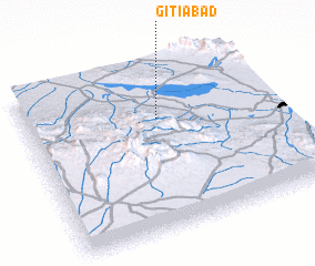
Disclaimer :: Information on this page comes without warranty of any kind |
||
|
Where is Gītīābād? Elevation and coordinates ::
Latitude (lat): 30°40'46"N Longitude (lon): 55°32'6"E
Elevation (approx.): 1407m (map arrows pan, magnifying glasses zoom) |
||
|
Visiting Gītīābād? Hotel/Accommodation ::
Book a hotel in Gītīābād Travel Guide ::
Buy a travel guide for Iran rental cars ::
car rental offers GPS waypoint ::
download a GPX waypoint (PoI) of Gītīābād for your GPS receiver
|
||