|
search place name
|
||
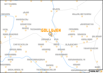
Gollūjeh (Kermān, Iran)Gollūjeh is a town in the Kermān region of Iran. An overview map of the region around Gollūjeh is displayed below.
regional and 3d topo map of Gollūjeh, Iran ::
Gollūjeh airports ::
The nearest airport is TBZ - Tabriz Intl, located 76.6 km south west of Gollūjeh.
Nearby towns ::
Ablalū (0.3km north east) //
Zang Molk (2.4km south west) //
Āyrī (2.4km south east) //
Masqarān (3.4km north west) //
Tāzeh Kand-e Masqarān (3.4km north west) //
Abrīq (4.0km south) //
Nahār (4.7km south west) //
Kasānaq (5.7km south) //
Ārghān (6.3km south east) //
Jūband (5.8km east) //
Jowband (6.1km east) //
Ravāsobḩān (8.0km south) //
‘Alājeh Chāy (6.9km south east) //
Zandābād (6.6km east) //
Āz̄ghān (8.6km south east) //
Ravāsjān (8.6km south east) //
[all distances 'as the bird flies' and approximate] 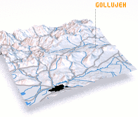 Places with similar names to Gollūjeh, Iran ::
Disclaimer :: Information on this page comes without warranty of any kind |
||
|
Where is Gollūjeh? Elevation and coordinates ::
Latitude (lat): 38°35'0"N Longitude (lon): 46°54'0"E
Elevation (approx.): 1758m (map arrows pan, magnifying glasses zoom) |
||
|
Visiting Gollūjeh? Hotel/Accommodation ::
Book a hotel in Gollūjeh Travel Guide ::
Buy a travel guide for Iran rental cars ::
car rental offers GPS waypoint ::
download a GPX waypoint (PoI) of Gollūjeh for your GPS receiver
|
||