|
search place name
|
||
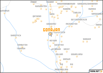
Gonājān (Kermān, Iran)Gonājān is a town in the Kermān region of Iran. An overview map of the region around Gonājān is displayed below.
regional and 3d topo map of Gonājān, Iran ::
Gonājān airports ::
The nearest airport is KER - Kerman, located 121.0 km north of Gonājān.
Other airports nearby include BND - Bandar Abbass Intl (225.3 km south), Nearby towns ::
Bāb Bīd-e Bālā (1.7km south west) //
Seyyed Mortezá (1.9km east) //
Meydān (2.5km south) //
Darvīn (3.5km north) //
Bāb Bīd-e Pā'īn (3.5km south) //
Kotk (3.2km east) //
Gowd-e Raz (3.7km north) //
Meshk Ābdān (3.7km south east) //
Gozū'īyeh (4.6km south east) //
Jūybādām (5.7km south) //
Dāmaneh-ye Anjīr (6.4km north west) //
Solţānābād (7.0km north) //
Ebrāhīmābād (7.0km north) //
Şafā (7.3km north) //
Moḩammadābād (6.8km north east) //
Seh Darreh (7.4km north west) //
Qanāt Bīd (7.4km north west) //
Gazūy (7.4km south east) //
Koldān (7.9km south) //
Langar (7.7km north west) //
Yakh Mūr (8.0km north) //
Sarghashk (8.0km north) //
Do Rūdī (7.6km north west) //
Razenū'īyeh (7.5km north east) //
Shīstū (7.8km north west) //
Qaţārān (8.0km north west) //
Ţābīq (7.8km north west) //
Gāzerū'īyeh (8.8km north) //
Moḩammadābād (9.1km north) //
[all distances 'as the bird flies' and approximate] 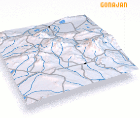 Places with similar names to Gonājān, Iran ::
Disclaimer :: Information on this page comes without warranty of any kind |
||
|
Where is Gonājān? Elevation and coordinates ::
Latitude (lat): 29°11'0"N Longitude (lon): 56°58'0"E
Elevation (approx.): 2050m (map arrows pan, magnifying glasses zoom) |
||
|
Visiting Gonājān? Hotel/Accommodation ::
Book a hotel in Gonājān Travel Guide ::
Buy a travel guide for Iran rental cars ::
car rental offers GPS waypoint ::
download a GPX waypoint (PoI) of Gonājān for your GPS receiver
|
||