|
search place name
|
||
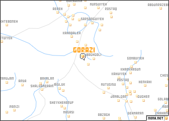
Gorāzī (Kermān, Iran)Gorāzī is a town in the Kermān region of Iran. An overview map of the region around Gorāzī is displayed below.
regional and 3d topo map of Gorāzī, Iran ::
Gorāzī airports ::
The nearest airport is KER - Kerman, located 100.5 km north east of Gorāzī.
Nearby towns ::
Sāsū'īyeh (1.2km south east) //
Bāgh Golī (1.9km east) //
Sang-e Sīāh (2.3km north) //
Maqşūdābād (2.8km north) //
Karpū'īyeh (3.4km north) //
Takht (4.3km north) //
Kahn Qal‘eh (5.8km north west) //
Pol-e Parvast (7.3km north east) //
Nūrān (7.8km north) //
‘Alīābād (7.8km south west) //
Mūtūgīsū (7.8km south east) //
Bīdlūk (7.8km south west) //
Zangū'īyeh (8.1km south east) //
Kahn-e Zārch (8.3km north) //
Sarsangū'īyeh (8.4km north) //
Kahū'īyeh (7.7km south east) //
Sharīkābād (8.5km north east) //
Shāhābād (8.9km north) //
Kahn-e Razesh (9.3km north) //
Bākalān (8.7km south west) //
Rostāq (9.1km south east) //
[all distances 'as the bird flies' and approximate] 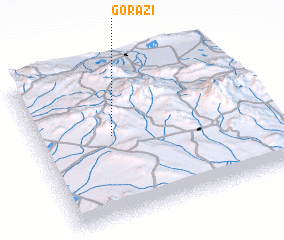 Places with similar names to Gorāzī, Iran ::
Disclaimer :: Information on this page comes without warranty of any kind |
||
|
Where is Gorāzī? Elevation and coordinates ::
Latitude (lat): 29°32'48"N Longitude (lon): 56°19'52"E
Elevation (approx.): 2783m (map arrows pan, magnifying glasses zoom) |
||
|
Visiting Gorāzī? Hotel/Accommodation ::
Book a hotel in Gorāzī Travel Guide ::
Buy a travel guide for Iran rental cars ::
car rental offers GPS waypoint ::
download a GPX waypoint (PoI) of Gorāzī for your GPS receiver
|
||