|
search place name
|
||
Gūjgūdī (Kermān, Iran)Gūjgūdī is a town in the Kermān region of Iran. An overview map of the region around Gūjgūdī is displayed below.
regional and 3d topo map of Gūjgūdī, Iran ::

Gūjgūdī airports ::
The nearest airport is BND - Bandar Abbass Intl, located 198.5 km west of Gūjgūdī.
Other airports nearby include FJR - Fujeirah Fujairah Intl (255.2 km south west), Nearby towns ::
Kahnak (4.8km south west) //
Sūrgāh (5.4km south west) //
Tahtūn (9.1km north east) //
Zamīn Lashgarī (10.4km north east) //
[all distances 'as the bird flies' and approximate] 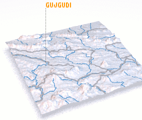 Places with similar names to Gūjgūdī, Iran ::
// Kajkute (BA)
// Kajkuti (BA)
// Guajuquito (MX)
// Kijkuit (NL)
// Kijkuit (NL)
// Gaojiagudui (CN)
// Kijkuit (BE)
// Cajegute (GW)
Disclaimer :: Information on this page comes without warranty of any kind |
||
|
Where is Gūjgūdī? Elevation and coordinates ::
Latitude (lat): 26°36'38"N Longitude (lon): 58°15'27"E
Elevation (approx.): 836m (map arrows pan, magnifying glasses zoom) |
||
|
Visiting Gūjgūdī? Hotel/Accommodation ::
Book a hotel in Gūjgūdī Travel Guide ::
Buy a travel guide for Iran rental cars ::
car rental offers GPS waypoint ::
download a GPX waypoint (PoI) of Gūjgūdī for your GPS receiver
|
||