|
search place name
|
||
Gūmeh'ī (Kordestān, Iran)Gūmeh'ī is a town in the Kordestān region of Iran. An overview map of the region around Gūmeh'ī is displayed below.
regional and 3d topo map of Gūmeh'ī, Iran ::

Gūmeh'ī airports ::
The nearest airport is SDG - Sanandaj, located 101.3 km south of Gūmeh'ī.
Other airports nearby include KSH - Bakhtaran Shahid Ashrafi Esfahani (202.1 km south), TBZ - Tabriz Intl (226.8 km north), Nearby towns ::
Sharīfābād (2.4km north west) //
Sehtapān (3.7km south) //
Seyyedābād (3.0km west) //
Gol Tappeh-ye ‘Olyā (3.5km south east) //
Jeyrān Mangeh (4.0km south) //
Qāderābād (3.5km north west) //
Chālī (4.8km south west) //
Kānī Seyyed Shokereh (4.5km west) //
Bardeh Rasheh (5.6km north) //
Qal‘eh Chālgāh (4.9km west) //
Şāleḩābād (4.9km west) //
Kānī Sefīd (6.3km south east) //
Qal‘eh Joqeh (5.8km north east) //
Naşīrābād (5.8km south west) //
Qal‘ehgāh-e Khalīfeh (5.8km north west) //
Qal‘eh Kohneh (7.6km north) //
Aḩmadkar (7.1km south east) //
‘Alīmardeh (7.1km north west) //
Qal‘ehgāh-e Sharīf (7.1km north west) //
Mīrābād (7.0km south west) //
Khākī Beyg (7.0km north east) //
Kānī Sorkh (8.0km north) //
Qāchīān (8.7km south west) //
Kānī Mollā (8.7km south west) //
[all distances 'as the bird flies' and approximate] 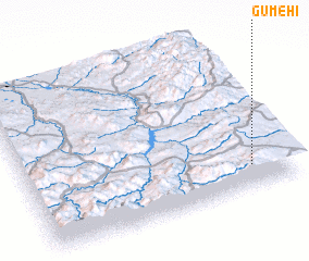 Places with similar names to Gūmeh'ī, Iran ::
Disclaimer :: Information on this page comes without warranty of any kind |
||
|
Where is Gūmeh'ī? Elevation and coordinates ::
Latitude (lat): 36°9'0"N Longitude (lon): 46°51'0"E
Elevation (approx.): 2082m (map arrows pan, magnifying glasses zoom) |
||
|
Visiting Gūmeh'ī? Hotel/Accommodation ::
Book a hotel in Gūmeh'ī Travel Guide ::
Buy a travel guide for Iran rental cars ::
car rental offers GPS waypoint ::
download a GPX waypoint (PoI) of Gūmeh'ī for your GPS receiver
|
||