|
search place name
|
||
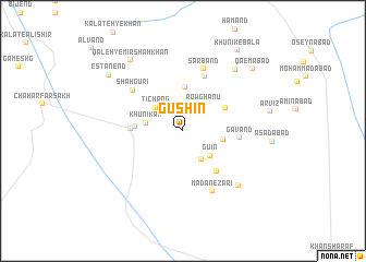
Gūshīn (Khorāsān, Iran)Gūshīn is a town in the Khorāsān region of Iran. An overview map of the region around Gūshīn is displayed below.
regional and 3d topo map of Gūshīn, Iran ::
Gūshīn airports ::
The nearest airport is XBJ - Birjand, located 150.6 km north west of Gūshīn.
Nearby towns ::
Rowghanū (3.2km north east) //
Gownd (3.3km south east) //
Tīchang (3.4km north west) //
Gū'īn (3.5km south east) //
Khūnīkak (3.3km west) //
Amīnābād (3.7km east) //
Gashkhalīr (4.5km north) //
Qadamgāh (4.2km west) //
Ebrāhīmābād (4.4km north east) //
Hameh Hīng (4.5km west) //
Gū'īn-e Pā'īn (5.0km south east) //
Gavand (5.0km east) //
Darreh (5.9km north) //
Shāh Gūrī (6.1km north west) //
Sarband (6.6km north) //
Ma‘dan-e Zarī (6.7km south east) //
Kalāteh-ye Seyyed ‘Alī (7.5km south east) //
Īsk (7.8km north east) //
Qal‘eh-ye Mīr Shāh Khān (8.5km north west) //
Estānend (8.6km north west) //
Qāʼemābād (8.8km north east) //
Khūnīk-e Bālā (9.5km north east) //
[all distances 'as the bird flies' and approximate] 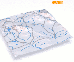 Places with similar names to Gūshīn, Iran ::
Disclaimer :: Information on this page comes without warranty of any kind |
||
|
Where is Gūshīn? Elevation and coordinates ::
Latitude (lat): 31°40'34"N Longitude (lon): 59°57'51"E
Elevation (approx.): 1801m (map arrows pan, magnifying glasses zoom) |
||
|
Visiting Gūshīn? Hotel/Accommodation ::
Book a hotel in Gūshīn Travel Guide ::
Buy a travel guide for Iran rental cars ::
car rental offers GPS waypoint ::
download a GPX waypoint (PoI) of Gūshīn for your GPS receiver
|
||