|
search place name
|
||
Ḩājjī Deh (Iran)Ḩājjī Deh is a town in Iran. An overview map of the region around Ḩājjī Deh is displayed below.
regional and 3d topo map of Ḩājjī Deh, Iran ::

Ḩājjī Deh airports ::
The nearest airport is THR - Teheran Mehrabad Intl, located 173.4 km west of Ḩājjī Deh.
Nearby towns ::
Lājīm (0.7km south east) //
Emāmzādeh ‘Abdollāh (1.9km south) //
Sesleh (1.5km west) //
Valīlā (4.5km west) //
Emāmzādeh Qāsem (4.9km east) //
Lowlāk-e Lowbīvar (4.9km west) //
Varakī (5.5km north east) //
Kamar Kheyl (7.6km north) //
Zazūl (6.3km west) //
Qāran Sarā (7.1km south east) //
Sarā Chālī (8.0km south) //
Sang Nīsht (8.3km south west) //
Pīr Na‘īm (7.7km south west) //
Emāmzādeh ‘Alī-ye Shelīmak (8.7km south east) //
Ghāran Sarā (8.2km south east) //
Vāstān (9.2km north east) //
Sī Pey (8.6km south west) //
Shelīmak (9.5km south east) //
Lowlāk-e Kaslīān (9.2km south west) //
Gardeshī (9.5km north east) //
Pāshā Kolā (9.5km south west) //
Pāshā Kolā (10.0km south east) //
Mateh Kolā (9.9km south west) //
[all distances 'as the bird flies' and approximate] 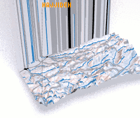 Places with similar names to Ḩājjī Deh, Iran ::
Disclaimer :: Information on this page comes without warranty of any kind |
||
|
Where is Ḩājjī Deh? Elevation and coordinates ::
Latitude (lat): 36°16'0"N Longitude (lon): 53°6'0"E
Elevation (approx.): 632m (map arrows pan, magnifying glasses zoom) |
||
|
Visiting Ḩājjī Deh? Hotel/Accommodation ::
Book a hotel in Ḩājjī Deh Travel Guide ::
Buy a travel guide for Iran rental cars ::
car rental offers GPS waypoint ::
download a GPX waypoint (PoI) of Ḩājjī Deh for your GPS receiver
|
||