|
search place name
|
||
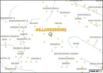
Ḩājjī Moḩammad (Ostān-e Kermānshāh, Iran)Ḩājjī Moḩammad is a town in the Ostān-e Kermānshāh region of Iran. An overview map of the region around Ḩājjī Moḩammad is displayed below.
regional and 3d topo map of Ḩājjī Moḩammad, Iran ::
Ḩājjī Moḩammad airports ::
The nearest airport is KSH - Bakhtaran Shahid Ashrafi Esfahani, located 40.5 km north east of Ḩājjī Moḩammad.
Other airports nearby include SDG - Sanandaj (133.0 km north), Nearby towns ::
Tālāndasht (2.1km east) //
Tūhrū'īleh-ye ‘Olyā (2.5km north west) //
Kamar Zard (2.9km south west) //
Ākhūndī (3.7km south east) //
Menderek (4.2km south) //
Taq Taq (4.2km north east) //
Gorgī (5.2km south) //
Dokūshkān-e Reẕā khānī (4.8km south east) //
Shīţ (5.9km west) //
Anjīrak (6.4km north west) //
Naz̧ar Gāh (8.7km north east) //
Seh Chekān-e Meleh Shāhī (8.7km south east) //
Mīleh Sar (10.6km south west) //
[all distances 'as the bird flies' and approximate] 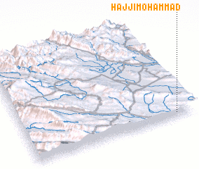 Places with similar names to Ḩājjī Moḩammad, Iran ::
// Ḩājj Muḩammad (IQ)
// Ḩājj Muḩammad (IQ)
// Ḩājj Moḩammad (IR)
// Ḩājj Moḩammad (IR)
// Ḩāj Moḩammad (IR)
// Hājī Muhammad (PK)
// Hāji Muhammad (PK)
// Hāji Muhammad (PK)
// Hāji Muhammad (PK)
Disclaimer :: Information on this page comes without warranty of any kind |
||
|
Where is Ḩājjī Moḩammad? Elevation and coordinates ::
Latitude (lat): 34°3'0"N Longitude (lon): 46°54'0"E
Elevation (approx.): 1635m (map arrows pan, magnifying glasses zoom) |
||
|
Visiting Ḩājjī Moḩammad? Hotel/Accommodation ::
Book a hotel in Ḩājjī Moḩammad Travel Guide ::
Buy a travel guide for Iran rental cars ::
car rental offers GPS waypoint ::
download a GPX waypoint (PoI) of Ḩājjī Moḩammad for your GPS receiver
|
||