|
search place name
|
||
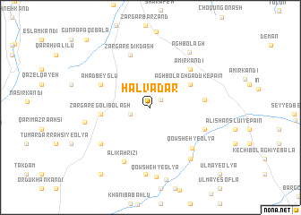
Halvādār (Ardabīl, Iran)Halvādār is a town in the Ardabīl region of Iran. An overview map of the region around Halvādār is displayed below.
regional and 3d topo map of Halvādār, Iran ::
Halvādār airports ::
The nearest airport is TBZ - Tabriz Intl, located 163.9 km south west of Halvādār.
Other airports nearby include RAS - Rasht (222.1 km south east), Nearby towns ::
Ūt Bāshā (1.4km north east) //
Kalī Bolāgh-e Zargar (2.1km south west) //
Āgh Bolāgh Gadūk-e Pā'īn (4.8km north east) //
Zargar-e Golī Bolāgh (4.9km west) //
Aḩad Beyglū (5.6km north west) //
Amīr Kandī (6.1km north east) //
Āqbolāgh-e Gadūk (5.4km east) //
Zargar-e Dīkdāsh (6.8km north) //
Qowsheh-ye ‘Olyā (6.5km south east) //
Qamchī Qayeh (6.0km south east) //
‘Ālī Kahrīzī (7.2km south) //
‘Emāratlū (6.6km south west) //
Kor-e Soflá (7.5km south east) //
Īmcheh (8.3km south) //
Āgh Bolāgh (7.8km north east) //
Chahār Chaman (6.7km west) //
Qowsheh-ye ‘Olyā (8.7km south) //
Khalīfeh Dāvūd (9.6km south west) //
Gūnpāpāq-e Bālā (10.5km north west) //
Ūlmā-ye ‘Olyā (10.7km south east) //
[all distances 'as the bird flies' and approximate] 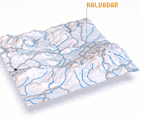 Places with similar names to Halvādār, Iran ::
// Helvadere (TR)
Disclaimer :: Information on this page comes without warranty of any kind |
||
|
Where is Halvādār? Elevation and coordinates ::
Latitude (lat): 38°48'28"N Longitude (lon): 47°54'20"E
Elevation (approx.): 1476m (map arrows pan, magnifying glasses zoom) |
||
|
Visiting Halvādār? Hotel/Accommodation ::
Book a hotel in Halvādār Travel Guide ::
Buy a travel guide for Iran rental cars ::
car rental offers GPS waypoint ::
download a GPX waypoint (PoI) of Halvādār for your GPS receiver
|
||