|
search place name
|
||
Homqāvand (Kermān, Iran)Homqāvand is a town in the Kermān region of Iran. An overview map of the region around Homqāvand is displayed below.
regional and 3d topo map of Homqāvand, Iran ::

Homqāvand airports ::
The nearest airport is KER - Kerman, located 38.7 km south of Homqāvand.
Nearby towns ::
Deh Zargar (2.6km west) //
Pā-ye Sīb (3.9km south east) //
Gīshk (4.6km south west) //
Pasū Bālā (4.6km south west) //
Sarangū (5.8km north east) //
Dehū (6.7km north east) //
Bondar (6.4km north west) //
Sūtkū (7.2km north) //
Hīkū'īyeh (7.4km north) //
Nīm Mong (7.4km north) //
Darb Mazār (7.2km east) //
Gach-e Bālā (8.3km north) //
Kāsū”īyeh (8.5km north west) //
Kemūnū'īyeh (8.4km south west) //
Kāz̧emābād (10.5km south west) //
[all distances 'as the bird flies' and approximate] 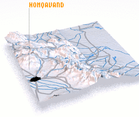 Places with similar names to Homqāvand, Iran :: Disclaimer :: Information on this page comes without warranty of any kind |
||
|
Where is Homqāvand? Elevation and coordinates ::
Latitude (lat): 30°36'2"N Longitude (lon): 57°5'39"E
Elevation (approx.): 2636m (map arrows pan, magnifying glasses zoom) |
||
|
Visiting Homqāvand? Hotel/Accommodation ::
Book a hotel in Homqāvand Travel Guide ::
Buy a travel guide for Iran rental cars ::
car rental offers GPS waypoint ::
download a GPX waypoint (PoI) of Homqāvand for your GPS receiver
|
||