|
search place name
|
||
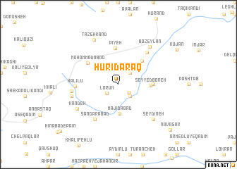
Ḩūrī Daraq (Ostān-e Āz̄arbāyjān-e Sharqī, Iran)Ḩūrī Daraq is a town in the Ostān-e Āz̄arbāyjān-e Sharqī region of Iran. An overview map of the region around Ḩūrī Daraq is displayed below.
regional and 3d topo map of Ḩūrī Daraq, Iran ::
Ḩūrī Daraq airports ::
The nearest airport is TBZ - Tabriz Intl, located 117.7 km south west of Ḩūrī Daraq.
Nearby towns ::
Khūrūbāreh (1.8km south east) //
Lorūm (2.0km south west) //
Khodā Qolī (2.3km north east) //
Morādlū (2.4km south east) //
Majīdābād (4.7km south) //
Seyyed Boneh (4.0km east) //
Jabān (4.7km north east) //
Chenāb (4.3km east) //
Pīyeh (5.8km north) //
Moḩammadābād (5.2km north west) //
Sangarābād (6.3km south west) //
Nīq (6.2km north east) //
Halīlū (5.3km west) //
Ojāqlū (5.9km west) //
Kandeh (6.4km south west) //
Dūjāqlār (6.1km west) //
Bozeylān (7.1km north east) //
Seydīneh (7.1km south east) //
Tāzeh Kand (7.7km north west) //
Navāsar (9.6km south east) //
[all distances 'as the bird flies' and approximate] 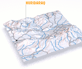 Places with similar names to Ḩūrī Daraq, Iran ::
// Haretrak (PK)
Disclaimer :: Information on this page comes without warranty of any kind |
||
|
Where is Ḩūrī Daraq? Elevation and coordinates ::
Latitude (lat): 38°46'0"N Longitude (lon): 47°19'0"E
Elevation (approx.): 1638m (map arrows pan, magnifying glasses zoom) |
||
|
Visiting Ḩūrī Daraq? Hotel/Accommodation ::
Book a hotel in Ḩūrī Daraq Travel Guide ::
Buy a travel guide for Iran rental cars ::
car rental offers GPS waypoint ::
download a GPX waypoint (PoI) of Ḩūrī Daraq for your GPS receiver
|
||