|
search place name
|
||
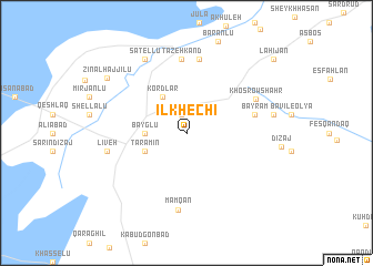
Īlkhechī (Ostān-e Āz̄arbāyjān-e Gharbī, Iran)Īlkhechī is a town in the Ostān-e Āz̄arbāyjān-e Gharbī region of Iran. An overview map of the region around Īlkhechī is displayed below.
regional and 3d topo map of Īlkhechī, Iran ::
Īlkhechī airports ::
The nearest airport is TBZ - Tabriz Intl, located 31.4 km north east of Īlkhechī.
Nearby towns ::
Khāşehlar (1.9km north) //
Bayglū (3.3km west) //
Kordlar (4.1km north west) //
Tarāmīn (3.8km south west) //
Bāyrām (5.7km east) //
Tāzeh Kand (7.4km north) //
Qareh Tappeh (7.5km north) //
Khosrowshahr (6.5km north east) //
Mamqān (7.8km south) //
Līveh (6.5km west) //
Khāşābād (6.5km west) //
Sātellū (8.1km north west) //
Kalajāh (7.1km east) //
Zīn al Ḩājjīlū (8.4km north west) //
Lāhījān (10.1km north east) //
[all distances 'as the bird flies' and approximate] 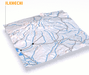
Disclaimer :: Information on this page comes without warranty of any kind |
||
|
Where is Īlkhechī? Elevation and coordinates ::
Latitude (lat): 37°55'1"N Longitude (lon): 46°0'17"E
Elevation (approx.): 1481m (map arrows pan, magnifying glasses zoom) |
||
|
Visiting Īlkhechī? Hotel/Accommodation ::
Book a hotel in Īlkhechī Travel Guide ::
Buy a travel guide for Iran rental cars ::
car rental offers GPS waypoint ::
download a GPX waypoint (PoI) of Īlkhechī for your GPS receiver
|
||