|
search place name
|
||
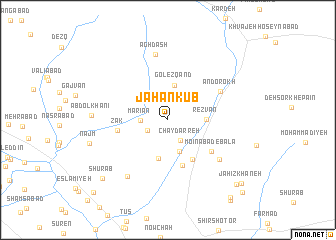
Jahān Kūb (Khorāsān, Iran)Jahān Kūb is a town in the Khorāsān region of Iran. An overview map of the region around Jahān Kūb is displayed below.
regional and 3d topo map of Jahān Kūb, Iran ::
Jahān Kūb airports ::
The nearest airport is ASB - Ashkhabad Ashgabat, located 193.5 km north west of Jahān Kūb.
Nearby towns ::
Kharq (2.2km south west) //
Chāy Darreh (2.5km south east) //
Mārīān (2.5km west) //
Akhangān (3.7km south) //
Gol Ezqand (3.8km north) //
Rezvān (3.4km east) //
Sang Ātash (4.4km south) //
Govāreshkī (4.9km south east) //
Khvosh Havā (5.3km south) //
Zāk (4.7km west) //
Mo‘īnābād-e Bālā (5.3km south east) //
Andorokh (5.7km north east) //
Mo‘īnābād-e Pā'īn (6.4km south east) //
Āghdāsh (7.3km north) //
Ḩasanābād (7.3km south west) //
‘Abd ol Khānī (6.9km west) //
Najm (7.6km west) //
Shūrāb (8.8km south west) //
Gomīzdar (9.5km south east) //
Jahīz Khāneh (9.7km south east) //
Fāz (10.3km south east) //
Hemmatābād (10.5km south east) //
Ţūs-e Soflá (10.5km south west) //
[all distances 'as the bird flies' and approximate] 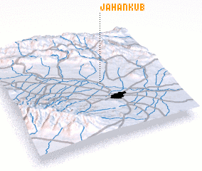 Places with similar names to Jahān Kūb, Iran ::
// Jihuangbei (CN)
Disclaimer :: Information on this page comes without warranty of any kind |
||
|
Where is Jahān Kūb? Elevation and coordinates ::
Latitude (lat): 36°33'21"N Longitude (lon): 59°36'30"E
Elevation (approx.): 1138m (map arrows pan, magnifying glasses zoom) |
||
|
Visiting Jahān Kūb? Hotel/Accommodation ::
Book a hotel in Jahān Kūb Travel Guide ::
Buy a travel guide for Iran rental cars ::
car rental offers GPS waypoint ::
download a GPX waypoint (PoI) of Jahān Kūb for your GPS receiver
|
||