|
search place name
|
||
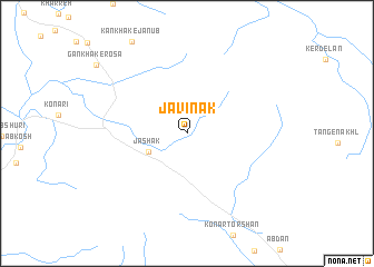
Jāvīnak (Iran)Jāvīnak is a town in Iran. An overview map of the region around Jāvīnak is displayed below.
regional and 3d topo map of Jāvīnak, Iran ::
Jāvīnak airports ::
The nearest airport is BUZ - Bushehr, located 118.4 km north west of Jāvīnak.
Other airports nearby include SYZ - Shiraz Shahid Dastghaib Intl (174.4 km north east), BAH - Bahrain Intl (236.0 km south west), DHA - Dhahran King Abdulaziz Ab (261.1 km south west), DMM - Dammam King Fahd Intl (266.1 km south west), Nearby towns ::
Jāshak (3.8km south west) //
[all distances 'as the bird flies' and approximate] 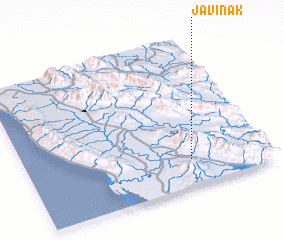 Places with similar names to Jāvīnak, Iran ::
// Javenieki (LV)
// Jovonak (IR)
// Jiufeng (CN)
// Jui-fang (TW)
// Javnik (SI)
// Jevnica (SI)
// Jevnica (SI)
// Giáo Phòng (VN)
// Giáo Phòng (VN)
// Gia Phong (VN)
Disclaimer :: Information on this page comes without warranty of any kind |
||
|
Where is Jāvīnak? Elevation and coordinates ::
Latitude (lat): 28°11'0"N Longitude (lon): 51°41'0"E
Elevation (approx.): 156m (map arrows pan, magnifying glasses zoom) |
||
|
Visiting Jāvīnak? Hotel/Accommodation ::
Book a hotel in Jāvīnak Travel Guide ::
Buy a travel guide for Iran rental cars ::
car rental offers GPS waypoint ::
download a GPX waypoint (PoI) of Jāvīnak for your GPS receiver
|
||