|
search place name
|
||
Jelīn-e Bālā (Golestān, Iran)Jelīn-e Bālā is a town in the Golestān region of Iran. An overview map of the region around Jelīn-e Bālā is displayed below.
regional and 3d topo map of Jelīn-e Bālā, Iran ::
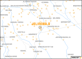
Nearby towns ::
Chūplānī (0.3km south) //
Marzan Kalāteh (0.3km north east) //
Rostam Kalā (2.9km north west) //
Shamsābād (3.5km north) //
Sorkhan Kalāteh (3.5km north) //
Mīānābād (3.4km north east) //
Taqīābād (3.1km east) //
Vāleshābād (3.3km south east) //
Sarkhon Kalāteh (3.5km north west) //
Emāmzādeh ‘Azīz (4.3km north east) //
Āhangar Maḩalleh (4.6km south) //
Do Dāngeh (4.4km south west) //
Naqdī Melk (4.5km east) //
Rostam Kalāteh-ye Khāleşeh (5.0km north west) //
Eşfahān Kalāteh (5.4km south west) //
Now Deh-e Malek (4.7km east) //
Tūrang Tappeh (5.8km north) //
Toqor Tappeh (4.9km south east) //
Ḩoseynābād-e Malek (5.3km north east) //
Ma‘şūmābād (6.2km north) //
Kūrān Tappeh (6.4km north) //
‘Alīābād (5.3km north west) //
Qarnābād (6.5km south) //
Jahān Tīghābād (5.6km east) //
Gūzan-e Fārs (6.7km north east) //
Jelīn-e Pā'īn (6.1km south west) //
Genāreh-ye Malek (6.1km east) //
Jahānābād-e Bālā (7.7km north) //
Qolīābād (7.1km north east) //
[all distances 'as the bird flies' and approximate] 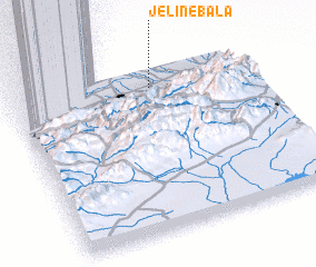 Places with similar names to Jelīn-e Bālā, Iran :: Disclaimer :: Information on this page comes without warranty of any kind |
||
|
Where is Jelīn-e Bālā? Elevation and coordinates ::
Latitude (lat): 36°52'51"N Longitude (lon): 54°35'51"E
Elevation (approx.): 79m (map arrows pan, magnifying glasses zoom) |
||
|
Visiting Jelīn-e Bālā? Hotel/Accommodation ::
Book a hotel in Jelīn-e Bālā Travel Guide ::
Buy a travel guide for Iran rental cars ::
car rental offers GPS waypoint ::
download a GPX waypoint (PoI) of Jelīn-e Bālā for your GPS receiver
|
||