|
search place name
|
||
Jīgūnī (Kordestān, Iran)Jīgūnī is a town in the Kordestān region of Iran. An overview map of the region around Jīgūnī is displayed below.
regional and 3d topo map of Jīgūnī, Iran ::

Jīgūnī airports ::
The nearest airport is SDG - Sanandaj, located 91.9 km south west of Jīgūnī.
Other airports nearby include KSH - Bakhtaran Shahid Ashrafi Esfahani (154.5 km south west), RAS - Rasht (244.6 km north east), Nearby towns ::
Khānbāghī (3.7km north east) //
Maḩmūdābād (4.0km south) //
Kolūcheh (4.0km north) //
Kahrīz-e Bābā Ḩoseyn (5.6km south) //
Qūrī Chāy (4.5km west) //
‘Alīābād (5.8km south west) //
Jaganlū (8.0km south) //
Jebre'īl (8.0km north) //
Seyfābād (8.2km north west) //
Aḩmadābād-e Bāsh (8.8km south west) //
[all distances 'as the bird flies' and approximate] 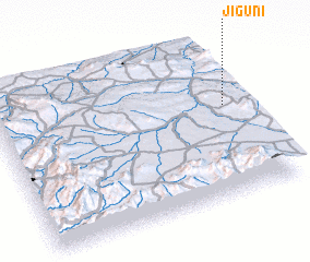 Places with similar names to Jīgūnī, Iran ::
Disclaimer :: Information on this page comes without warranty of any kind |
||
|
Where is Jīgūnī? Elevation and coordinates ::
Latitude (lat): 35°35'0"N Longitude (lon): 47°56'0"E
Elevation (approx.): 1771m (map arrows pan, magnifying glasses zoom) |
||
|
Visiting Jīgūnī? Hotel/Accommodation ::
Book a hotel in Jīgūnī Travel Guide ::
Buy a travel guide for Iran rental cars ::
car rental offers GPS waypoint ::
download a GPX waypoint (PoI) of Jīgūnī for your GPS receiver
|
||