|
search place name
|
||
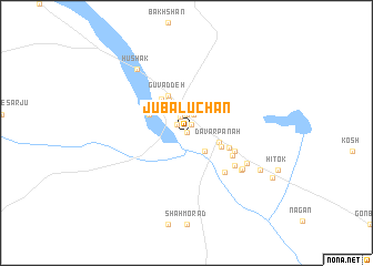
Jū Balūchān (Sīstān va Balūchestān, Iran)Jū Balūchān is a town in the Sīstān va Balūchestān region of Iran. An overview map of the region around Jū Balūchān is displayed below.
regional and 3d topo map of Jū Balūchān, Iran ::
Jū Balūchān airports ::
The nearest airport is TRB - Turbo Turbat Intl, located 166.2 km south east of Jū Balūchān.
Other airports nearby include PJG - Panjgur (183.6 km east), ZBR - Chah Bahar (287.3 km south west), Nearby towns ::
Qal‘eh-ye Shahbāz (0.0km north) //
Qal‘eh-ye Gazān (0.0km north) //
Ormand (1.0km north east) //
Kerān (1.2km north west) //
Sarjū (1.7km north) //
Sa Jū (1.9km north) //
Shahestān (1.9km north) //
Sarāvān (1.9km north) //
Kalan-e Sar Jū (2.5km south east) //
Bakhshān-e Pā'īn (3.3km north west) //
Dāvar Panāh (3.1km east) //
Bakhshān (3.6km north west) //
Porkān (3.4km south east) //
Gūvaddeh (4.1km north west) //
Berkeh (3.8km north west) //
Gowdeh (4.0km north west) //
Zīāratgāh-e Āstā (4.1km east) //
Kalleh Sarī (4.7km south east) //
Zangīān (4.7km south east) //
Kūllok (5.2km south east) //
Poshtak (5.4km south east) //
Dashtūk (6.2km south east) //
Deh-e Moḩammadī (6.2km south east) //
Espīch (6.2km south east) //
Hūshak (7.8km north west) //
Kalātūk (7.6km south east) //
Zīārat (9.0km south east) //
[all distances 'as the bird flies' and approximate] 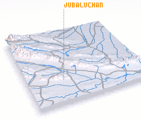 Places with similar names to Jū Balūchān, Iran :: Disclaimer :: Information on this page comes without warranty of any kind |
||
|
Where is Jū Balūchān? Elevation and coordinates ::
Latitude (lat): 27°21'0"N Longitude (lon): 62°20'0"E
Elevation (approx.): 1162m (map arrows pan, magnifying glasses zoom) |
||
|
Visiting Jū Balūchān? Hotel/Accommodation ::
Book a hotel in Jū Balūchān Travel Guide ::
Buy a travel guide for Iran rental cars ::
car rental offers GPS waypoint ::
download a GPX waypoint (PoI) of Jū Balūchān for your GPS receiver
|
||